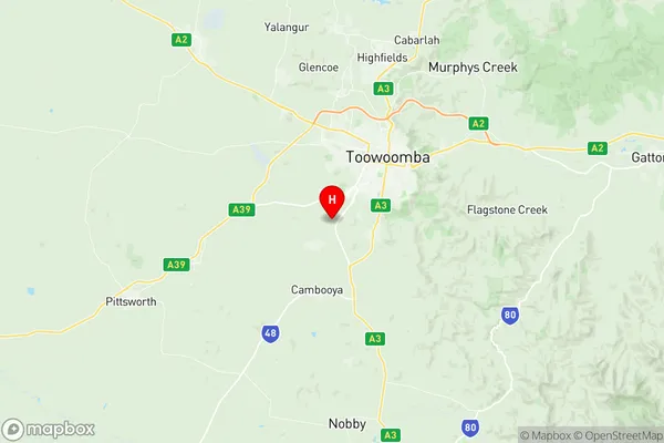
Cambooya Wyreema Suburbs & Region, Cambooya Wyreema Map & Postcodes
Cambooya Wyreema Suburbs & Region, Cambooya Wyreema Map & Postcodes in Cambooya Wyreema, Toowoomba, QLD, AU
Cambooya Wyreema Region
Region Name
Cambooya Wyreema (QLD, AU)Cambooya Wyreema Area
227.54 square kilometers (227.54 ㎢)Postal Codes
4350, 4352, and 4358 (In total, there are 3 postcodes in Cambooya Wyreema.)Cambooya Wyreema Introduction
Cambooya Wyreema is a locality in the Toowoomba Region, Queensland, Australia. It is one of the major gateways to the Darling Downs from the Queensland coast. The locality is named after the Cambooya River, which flows through it. Cambooya Wyreema is a rural area with a population of around 2,000 people. It is home to a number of agricultural businesses, including cotton farming and cattle grazing. The town has a primary school, a post office, a general store, and a community hall. The Cambooya railway station is located on the Southern line and provides regular services to Brisbane and Toowoomba. The town is also served by the Toowoomba Airport, which offers domestic and international flights.Australia State
City or Big Region
Greater Capital City
Rest of Qld (3RQLD)District or Regional Area
Suburb Name
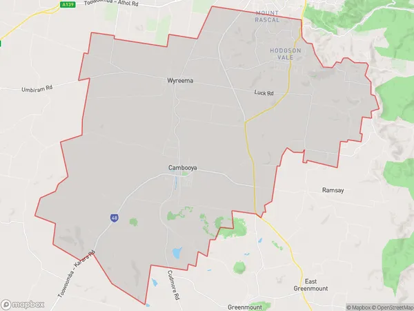
Cambooya Wyreema Region Map

Cambooya Wyreema Postcodes / Zip Codes
Cambooya Wyreema Suburbs
Cambooya Wyreema full address
Cambooya Wyreema, Toowoomba, Queensland, QLD, Australia, SaCode: 317011445Country
Cambooya Wyreema, Toowoomba, Queensland, QLD, Australia, SaCode: 317011445
Cambooya Wyreema Suburbs & Region, Cambooya Wyreema Map & Postcodes has 0 areas or regions above, and there are 9 Cambooya Wyreema suburbs below. The sa2code for the Cambooya Wyreema region is 317011445. Its latitude and longitude coordinates are -27.632,151.884. Cambooya Wyreema area belongs to Australia's greater capital city Rest of Qld.
Cambooya Wyreema Suburbs & Localities
1. Finnie
2. Top Camp
3. Preston
4. Cambooya
5. Vale View
6. Hodgson Vale
7. Mount Rascal
8. Wyreema
9. Vale View
