Preston Area, Preston Postcode(4352) & Map in Preston, Toowoomba, QLD
Preston Area, Preston Postcode(4352) & Map in Preston, Toowoomba, QLD, AU, Postcode: 4352
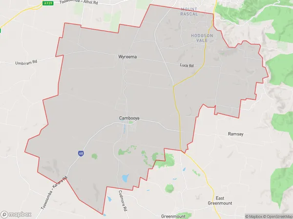
Preston, Cambooya - Wyreema, Toowoomba, Toowoomba, Queensland, Australia, 4352
Preston Postcode
Area Name
PrestonPreston Suburb Area Map (Polygon)
Preston Introduction
Preston, Toowoomba, QLD, AU is a suburb located in the Darling Downs region of Queensland, Australia. It is known for its scenic beauty, including the Great Dividing Range and the Lockyer Valley. The suburb has a population of approximately 10,000 people and is home to a variety of businesses, including a hospital, schools, and shopping centers.State Name
City or Big Region
District or Regional Area
Suburb Name
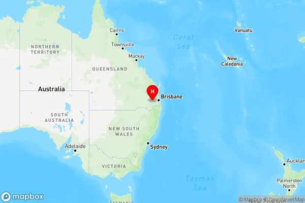
Preston Region Map
Country
Main Region in AU
R3Coordinates
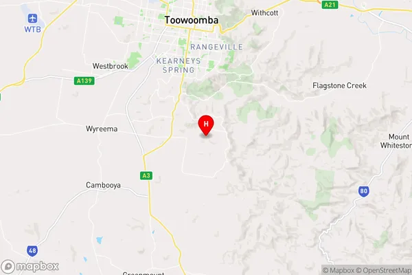
-27.665,151.968 (latitude/longitude)Preston Area Map (Street)
Longitude
151.94182Latitude
-27.627661Preston Elevation
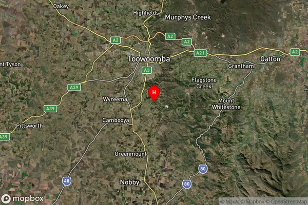
about 643.62 meters height above sea level (Altitude)Preston Suburb Map (Satellite)
Distances
The distance from Preston, Toowoomba, QLD to AU Greater Capital CitiesSA1 Code 2011
31701144510SA1 Code 2016
31701144510SA2 Code
317011445SA3 Code
31701SA4 Code
317RA 2011
2RA 2016
2MMM 2015
2MMM 2019
2Charge Zone
Q2LGA Region
Lockyer ValleyLGA Code
34580Electorate
Wright