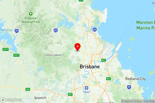
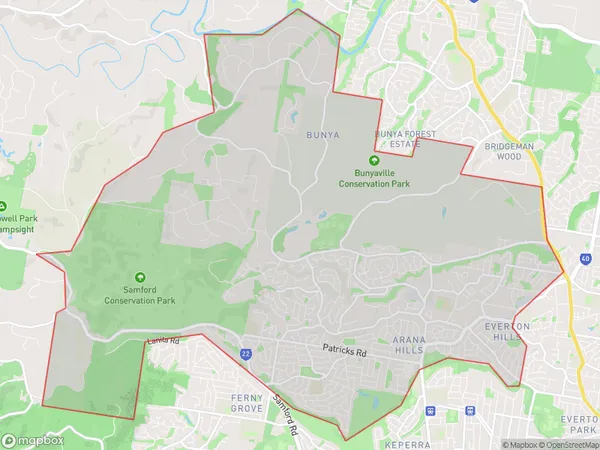
The Hills District Suburbs & Region, The Hills District Map & Postcodes
The Hills District Suburbs & Region, The Hills District Map & Postcodes in The Hills District, Hills District, Moreton Bay South, QLD, AU
The Hills District Region
Region Name
The Hills District (QLD, AU)The Hills District Area
31.62 square kilometers (31.62 ㎢)Postal Codes
from 4053 to 4055 (In total, there are 3 postcodes in The Hills District.)The Hills District Introduction
The Hills District is a locality in the Moreton Bay Region, Queensland, Australia. It is located 17 kilometers northwest of Brisbane's central business district and has a population of around 45,000 people. The district is known for its lush green hills, scenic parks, and well-maintained homes. It is also home to several major shopping centers, including The Pines Shopping Centre and The Summit Shopping Centre. The Hills District has a variety of schools, including primary and secondary schools, as well as a TAFE campus. It is also home to several hospitals, including the Prince Charles Hospital and the Sunnybrook Hospital. The district is surrounded by beautiful natural scenery, including the Mount Superbus National Park and the D'Aguilar Range. It is a popular destination for outdoor activities such as hiking, cycling, and picnicking.Australia State
City or Big Region
Greater Capital City
Greater Brisbane (3GBRI)District or Regional Area
Suburb Name
The Hills District Region Map

The Hills District Postcodes / Zip Codes
The Hills District Suburbs
The Hills District full address
The Hills District, Hills District, Moreton Bay South, Queensland, QLD, Australia, SaCode: 314011386Country
The Hills District, Hills District, Moreton Bay South, Queensland, QLD, Australia, SaCode: 314011386
The Hills District Suburbs & Region, The Hills District Map & Postcodes has 0 areas or regions above, and there are 5 The Hills District suburbs below. The sa2code for the The Hills District region is 314011386. Its latitude and longitude coordinates are -27.3975,152.959. The Hills District area belongs to Australia's greater capital city Greater Brisbane.
The Hills District Suburbs & Localities
1. Arana Hills
2. Ferny Hills Dc
3. Bunya
4. Everton Hills
5. Ferny Hills
