Bunya Area, Bunya Postcode(4055) & Map in Bunya, Moreton Bay - South, QLD
Bunya Area, Bunya Postcode(4055) & Map in Bunya, Moreton Bay - South, QLD, AU, Postcode: 4055
Bunya, The Hills District, The Hills District, Moreton Bay - South, Queensland, Australia, 4055
Bunya Postcode
Area Name
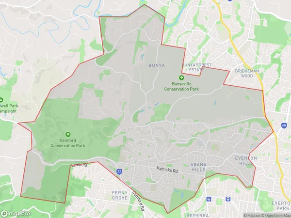
BunyaBunya Suburb Area Map (Polygon)

Bunya Introduction
Bunya is a locality in the South Burnett Region, Queensland, Australia. It is one of the major gateways to the Bunya Mountains National Park. The town is named after the bunya pine, which is abundant in the area. Bunya is located 116 kilometers south of Brisbane and 36 kilometers west of Kingaroy.State Name
City or Big Region
District or Regional Area
Suburb Name
Bunya Region Map

Country
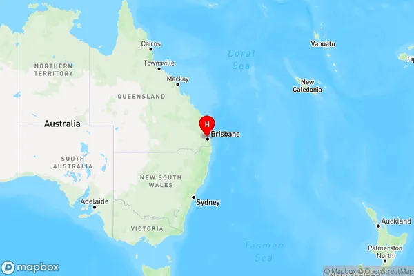
Main Region in AU
R1Coordinates
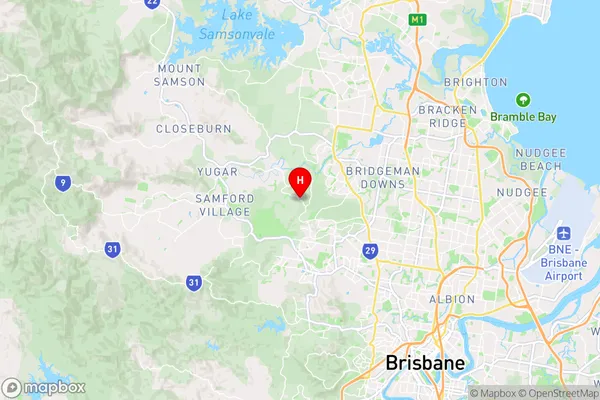
-27.369722,152.937778 (latitude/longitude)Bunya Area Map (Street)

Longitude
152.92424Latitude
-27.393676Bunya Elevation
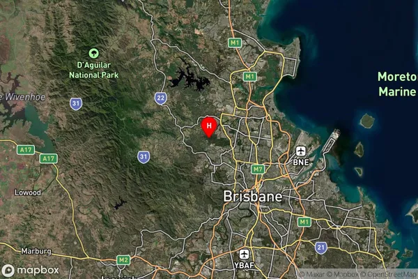
about 70.65 meters height above sea level (Altitude)Bunya Suburb Map (Satellite)

Distances
The distance from Bunya, Moreton Bay - South, QLD to AU Greater Capital CitiesSA1 Code 2011
31401138661SA1 Code 2016
31401138661SA2 Code
314011386SA3 Code
31401SA4 Code
314RA 2011
1RA 2016
1MMM 2015
1MMM 2019
1Charge Zone
Q1LGA Region
BrisbaneLGA Code
31000Electorate
Ryan