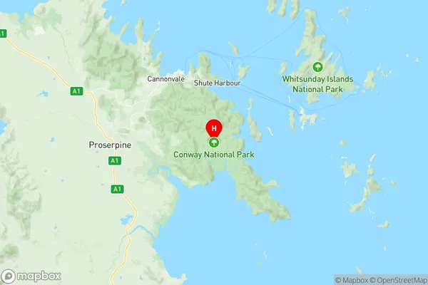
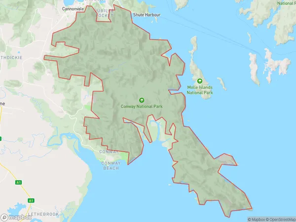
Cape Conway Suburbs & Region, Cape Conway Map & Postcodes
Cape Conway Suburbs & Region, Cape Conway Map & Postcodes in Cape Conway, Whitsunday, Mackay, QLD, AU
Cape Conway Region
Region Name
Cape Conway (QLD, AU)Cape Conway Area
295.37 square kilometers (295.37 ㎢)Postal Codes
4800 (In total, there are 1 postcodes in Cape Conway.)Cape Conway Introduction
Cape Conway is a locality in the Mackay Region, Queensland, Australia. It is one of the northernmost points of the Australian mainland. The locality is in the Shires of Mackay and Whitsunday. Cape Conway is in the Coral Sea Islands National Park. The Cape Conway Lighthouse is located at the cape.Australia State
City or Big Region
Greater Capital City
Rest of Qld (3RQLD)District or Regional Area
Suburb Name
Cape Conway Region Map

Cape Conway Postcodes / Zip Codes
Cape Conway Suburbs
Cape Conway full address
Cape Conway, Whitsunday, Mackay, Queensland, QLD, Australia, SaCode: 312031360Country
Cape Conway, Whitsunday, Mackay, Queensland, QLD, Australia, SaCode: 312031360
Cape Conway Suburbs & Region, Cape Conway Map & Postcodes has 0 areas or regions above, and there are 1 Cape Conway suburbs below. The sa2code for the Cape Conway region is 312031360. Its latitude and longitude coordinates are -20.3971,148.782. Cape Conway area belongs to Australia's greater capital city Rest of Qld.
Cape Conway Suburbs & Localities
1. Cape Conway
