Seaforth Calen Suburbs & Region, Seaforth Calen Map & Postcodes
Seaforth Calen Suburbs & Region, Seaforth Calen Map & Postcodes in Seaforth Calen, Whitsunday, Mackay, QLD, AU
Seaforth Calen Region
Region Name
Seaforth Calen (QLD, AU)Seaforth Calen Area
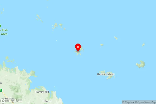
2104 square kilometers (2,104 ㎢)Seaforth Calen Suburb Area Map (Polygon)

Seaforth Calen Introduction
Seaforth Calen is a locality in the Mackay Region, Queensland, Australia. It is one of the major suburbs of Mackay and is located 12 km north of the city center. The suburb has a population of around 4,500 people and is known for its rural atmosphere and scenic surroundings. It is surrounded by farmland and has a number of parks and recreational facilities, including a golf course and a swimming pool. Seaforth Calen is also home to a number of businesses and industries, including a sugar mill and a poultry farm.Australia State
City or Big Region
Greater Capital City
Rest of Qld (3RQLD)District or Regional Area
Suburb Name
Seaforth Calen Region Map
Seaforth Calen Suburbs
Seaforth Calen full address
Seaforth Calen, Whitsunday, Mackay, Queensland, QLD, Australia, SaCode: 312021353Country
Seaforth Calen, Whitsunday, Mackay, Queensland, QLD, Australia, SaCode: 312021353
Seaforth Calen Suburbs & Region, Seaforth Calen Map & Postcodes has 0 areas or regions above, and there are 0 Seaforth Calen suburbs below. The sa2code for the Seaforth Calen region is 312021353. Its latitude and longitude coordinates are -20.808,149.274. Seaforth Calen area belongs to Australia's greater capital city Rest of Qld.