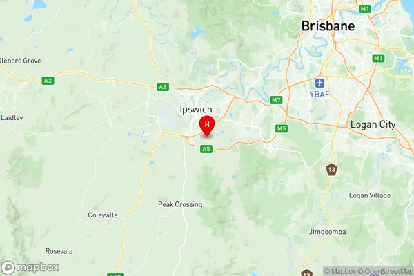
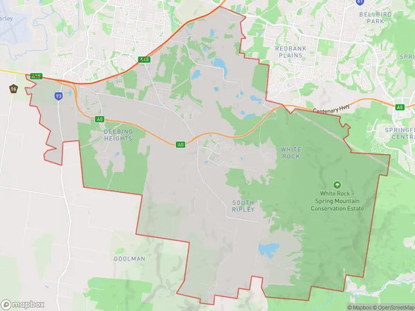
Ripley Suburbs & Region, Ripley Map & Postcodes
Ripley Suburbs & Region, Ripley Map & Postcodes in Ripley, Burnett, Wide Bay, QLD, AU
Ripley Region
Region Name
Ripley (QLD, AU)Ripley Area
130.57 square kilometers (130.57 ㎢)Postal Codes
4306 (In total, there are 1 postcodes in Ripley.)Ripley Introduction
Ripley is a locality in the Bundaberg Region, Queensland, Australia. It is one of the major gateways to the Wide Bay Burnett region from the Brisbane metropolitan area. The town is located on the Burnett River and is approximately 260 kilometers north of Brisbane. Ripley was originally a small timber town but has since grown into a thriving agricultural and tourism hub. The town is home to a number of historic buildings, including the Ripley Hotel, which was built in 1888. The town also has a number of parks and recreational facilities, including a golf course and a swimming pool. The nearby Ripley State Forest is a popular destination for bushwalkers and nature lovers.Australia State
City or Big Region
Greater Capital City
Greater Brisbane (3GBRI)District or Regional Area
Suburb Name
Ripley Region Map

Ripley Postcodes / Zip Codes
Ripley Suburbs
Ripley full address
Ripley, Burnett, Wide Bay, Queensland, QLD, Australia, SaCode: 310031294Country
Ripley, Burnett, Wide Bay, Queensland, QLD, Australia, SaCode: 310031294
Ripley Suburbs & Region, Ripley Map & Postcodes has 0 areas or regions above, and there are 6 Ripley suburbs below. The sa2code for the Ripley region is 310031294. Its latitude and longitude coordinates are -27.6667,152.783. Ripley area belongs to Australia's greater capital city Greater Brisbane.
Ripley Suburbs & Localities
1. Swanbank
2. South Ripley
3. White Rock
4. Deebing Heights
5. Loamside
6. Ripley
