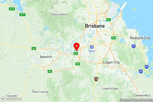
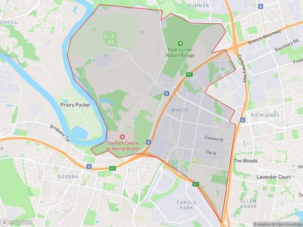
Wacol Suburbs & Region, Wacol Map & Postcodes
Wacol Suburbs & Region, Wacol Map & Postcodes in Wacol, Forest Lake Oxley, Ipswich, QLD, AU
Wacol Region
Region Name
Wacol (QLD, AU)Wacol Area
19.06 square kilometers (19.06 ㎢)Wacol Introduction
Wacol is a suburb in the City of Ipswich, Queensland, Australia. It is located 10 kilometers west of the Ipswich central business district. Wacol has a population of around 10,000 people and is known for its large industrial area and rail yards. The suburb also has a number of parks and recreational facilities, including a golf course and a sports complex. Wacol is served by the Wacol railway station on the Shorncliffe line. The station is located on the southern edge of the suburb and provides direct access to the Brisbane CBD.Australia State
City or Big Region
Greater Capital City
Greater Brisbane (3GBRI)District or Regional Area
Suburb Name
Wacol Region Map

Wacol Suburbs
Wacol full address
Wacol, Forest Lake Oxley, Ipswich, Queensland, QLD, Australia, SaCode: 310011276Country
Wacol, Forest Lake Oxley, Ipswich, Queensland, QLD, Australia, SaCode: 310011276
Wacol Suburbs & Region, Wacol Map & Postcodes has 0 areas or regions above, and there are 0 Wacol suburbs below. The sa2code for the Wacol region is 310011276. Its latitude and longitude coordinates are -27.5888,152.925. Wacol area belongs to Australia's greater capital city Greater Brisbane.
