Wacol East Immigration Centre Area, Wacol East Immigration Centre Postcode(4076) & Map in Wacol East Immigration Centre, Ipswich, QLD
Wacol East Immigration Centre Area, Wacol East Immigration Centre Postcode(4076) & Map in Wacol East Immigration Centre, Ipswich, QLD, AU, Postcode: 4076
Wacol East Immigration Centre, Wacol, Forest Lake - Oxley, Ipswich, Queensland, Australia, 4076
Wacol East Immigration Centre Postcode
Area Name
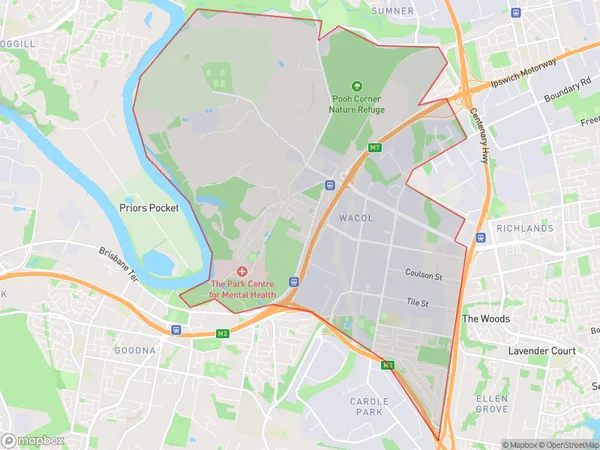
Wacol East Immigration CentreWacol East Immigration Centre Suburb Area Map (Polygon)

Wacol East Immigration Centre Introduction
Wacol East Immigration Centre is a low-security immigration detention centre located in Wacol, Queensland, Australia. It is operated by the Australian Border Force and holds around 1,500 male detainees. The centre has been the subject of controversy and criticism over its treatment of detainees, including claims of inadequate medical care and abuse.State Name
City or Big Region
District or Regional Area
Suburb Name
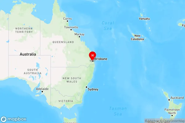
Wacol East Immigration Centre Region Map

Country
Main Region in AU
R2Coordinates
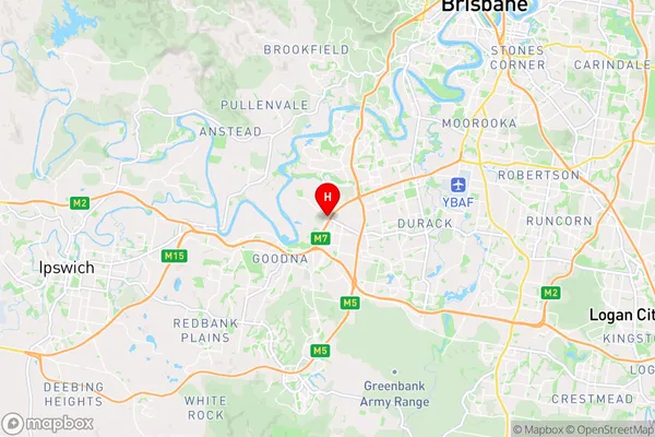
-27.5888,152.925 (latitude/longitude)Wacol East Immigration Centre Area Map (Street)

Longitude
152.921067Latitude
-27.584561Wacol East Immigration Centre Elevation
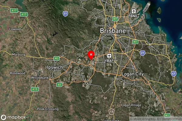
about 32.49 meters height above sea level (Altitude)Wacol East Immigration Centre Suburb Map (Satellite)

Distances
The distance from Wacol East Immigration Centre, Ipswich, QLD to AU Greater Capital CitiesSA1 Code 2011
31001127606SA1 Code 2016
31001127606SA2 Code
310011276SA3 Code
31001SA4 Code
310RA 2011
1RA 2016
1MMM 2015
1MMM 2019
1Charge Zone
Q1LGA Region
BrisbaneLGA Code
31000Electorate
Oxley