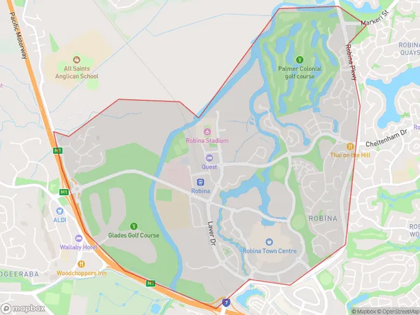
Robina West Suburbs & Region, Robina West Map & Postcodes
Robina West Suburbs & Region, Robina West Map & Postcodes in Robina West, Robina, Gold Coast, QLD, AU
Robina West Region
Region Name
Robina West (QLD, AU)Robina West Area
6.63 square kilometers (6.63 ㎢)Robina West Introduction
Robina West is a suburb in the City of Gold Coast, Queensland, Australia. It is located in the southern part of the Gold Coast, approximately 15 kilometers south of the city center. Robina West is known for its modern infrastructure, including a shopping center, a hospital, and several schools. It is also home to a number of parks and recreational facilities, including a golf course and a water park. The suburb has a diverse population, with a mix of families, young professionals, and retirees. It is surrounded by other suburbs, including Carrara, Labrador, and Broadbeach, and is easily accessible to the Gold Coast's beaches and theme parks.Australia State
City or Big Region
Greater Capital City
Rest of Qld (3RQLD)District or Regional Area
Suburb Name
Robina West Suburbs
Robina West full address
Robina West, Robina, Gold Coast, Queensland, QLD, Australia, SaCode: 309081560Country
Robina West, Robina, Gold Coast, Queensland, QLD, Australia, SaCode: 309081560
Robina West Suburbs & Region, Robina West Map & Postcodes has 0 areas or regions above, and there are 0 Robina West suburbs below. The sa2code for the Robina West region is 309081560. Robina West area belongs to Australia's greater capital city Rest of Qld.
