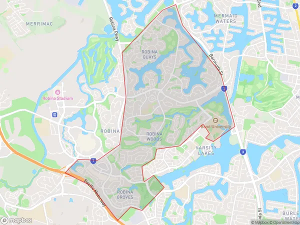
Robina East Suburbs & Region, Robina East Map & Postcodes
Robina East Suburbs & Region, Robina East Map & Postcodes in Robina East, Robina, Gold Coast, QLD, AU
Robina East Region
Region Name
Robina East (QLD, AU)Robina East Area
8.33 square kilometers (8.33 ㎢)Robina East Introduction
Robina East is a suburb in the City of Gold Coast, Queensland, Australia. It is located in the southern part of the Gold Coast, approximately 10 kilometers south of the city center. Robina East is known for its modern infrastructure, including shopping centers, hotels, and residential developments. It is also home to the Robina Town Center, one of the largest shopping malls on the Gold Coast. The suburb has a population of around 30,000 people and is surrounded by beautiful parks and waterways, including the Broadwater and the Gold Coast Canal. Robina East is a popular destination for tourists and locals alike, with its many attractions and convenient location.Australia State
City or Big Region
Greater Capital City
Rest of Qld (3RQLD)District or Regional Area
Suburb Name
Robina East Suburbs
Robina East full address
Robina East, Robina, Gold Coast, Queensland, QLD, Australia, SaCode: 309081559Country
Robina East, Robina, Gold Coast, Queensland, QLD, Australia, SaCode: 309081559
Robina East Suburbs & Region, Robina East Map & Postcodes has 0 areas or regions above, and there are 0 Robina East suburbs below. The sa2code for the Robina East region is 309081559. Robina East area belongs to Australia's greater capital city Rest of Qld.
