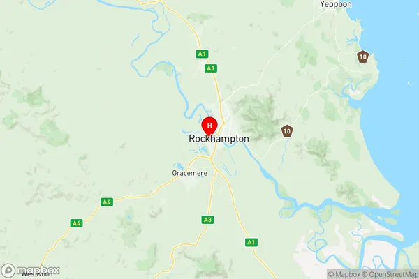
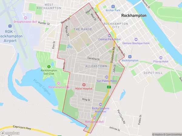
The Range Allenstown Suburbs & Region, The Range Allenstown Map & Postcodes
The Range Allenstown Suburbs & Region, The Range Allenstown Map & Postcodes in The Range Allenstown, Rockhampton, Fitzroy, QLD, AU
The Range Allenstown Region
Region Name
The Range Allenstown (QLD, AU)The Range Allenstown Area
5.5 square kilometers (5.5 ㎢)Postal Codes
4700, and 4701 (In total, there are 2 postcodes in The Range Allenstown.)The Range Allenstown Introduction
The Range Allenstown is a large retail store located in Allenstown, Fitzroy, Queensland, Australia. It offers a wide range of products, including clothing, footwear, home goods, electronics, and groceries. The store has a modern and spacious layout with easy-to-navigate aisles and helpful staff members. It is known for its competitive prices, regular promotions, and excellent customer service. The Range Allenstown is a popular destination for locals and tourists alike and provides a convenient one-stop shopping experience for all their needs.Australia State
City or Big Region
Greater Capital City
Rest of Qld (3RQLD)District or Regional Area
Suburb Name
The Range Allenstown Region Map

The Range Allenstown Postcodes / Zip Codes
The Range Allenstown Suburbs
The Range Allenstown full address
The Range Allenstown, Rockhampton, Fitzroy, Queensland, QLD, Australia, SaCode: 308031222Country
The Range Allenstown, Rockhampton, Fitzroy, Queensland, QLD, Australia, SaCode: 308031222
The Range Allenstown Suburbs & Region, The Range Allenstown Map & Postcodes has 0 areas or regions above, and there are 4 The Range Allenstown suburbs below. The sa2code for the The Range Allenstown region is 308031222. Its latitude and longitude coordinates are -23.38,150.495. The Range Allenstown area belongs to Australia's greater capital city Rest of Qld.
The Range Allenstown Suburbs & Localities
1. Allenstown
2. Rockhampton North
3. Rockhampton Hospital
4. The Range
