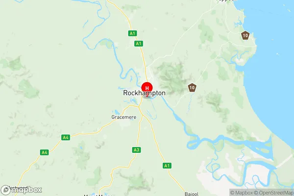
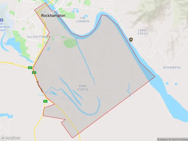
Rockhampton City Suburbs & Region, Rockhampton City Map & Postcodes
Rockhampton City Suburbs & Region, Rockhampton City Map & Postcodes in Rockhampton City, Rockhampton, Fitzroy, QLD, AU
Rockhampton City Region
Region Name
Rockhampton City (QLD, AU)Rockhampton City Area
51.17 square kilometers (51.17 ㎢)Postal Codes
4700, and 4701 (In total, there are 2 postcodes in Rockhampton City.)Rockhampton City Introduction
Rockhampton City is a locality in the Fitzroy Region, Queensland, Australia. It is one of the major regional centres of Central Queensland. The city had a population of 31,394 in the 2011 census. Rockhampton is known for its beef industry, with the Rockhampton Regional Council being the largest beef producer in Australia. The city also has a significant sugar industry and is a major transport hub for the region. The Fitzroy River runs through the city, and the Mount Archer National Park is located nearby.Australia State
City or Big Region
Greater Capital City
Rest of Qld (3RQLD)District or Regional Area
Suburb Name
Rockhampton City Region Map

Rockhampton City Postcodes / Zip Codes
Rockhampton City Suburbs
Rockhampton City full address
Rockhampton City, Rockhampton, Fitzroy, Queensland, QLD, Australia, SaCode: 308031217Country
Rockhampton City, Rockhampton, Fitzroy, Queensland, QLD, Australia, SaCode: 308031217
Rockhampton City Suburbs & Region, Rockhampton City Map & Postcodes has 0 areas or regions above, and there are 5 Rockhampton City suburbs below. The sa2code for the Rockhampton City region is 308031217. Its latitude and longitude coordinates are -23.3915,150.521. Rockhampton City area belongs to Australia's greater capital city Rest of Qld.
Rockhampton City Suburbs & Localities
1. Port Curtis
2. Rockhampton City
3. Rockhampton
4. Depot Hill
5. Rockhampton Dc
