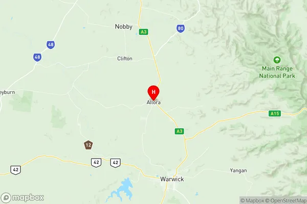
Southern Downs West Suburbs & Region, Southern Downs West Map & Postcodes
Southern Downs West Suburbs & Region, Southern Downs West Map & Postcodes in Southern Downs West, Granite Belt, Darling Downs Maranoa, QLD, AU
Southern Downs West Region
Region Name
Southern Downs West (QLD, AU)Southern Downs West Area
2685 square kilometers (2,685 ㎢)Postal Codes
4352, 4361, 4362, 4365, 4370, and 4374 (In total, there are 6 postcodes in Southern Downs West.)Southern Downs West Introduction
Southern Downs West is a locality in the Darling Downs Region, Queensland, Australia. It is one of the major gateways to the Darling Downs from the Queensland coast. The locality is named after the Southern Downs, a range of hills that runs parallel to the coast. The Southern Downs West Post Office opened on 1 October 1924 and was closed on 1 March 1974. The town has a primary school and a pub. The nearest major town is Toowoomba, which is 55 km away.Australia State
City or Big Region
Greater Capital City
Rest of Qld (3RQLD)District or Regional Area
Suburb Name
Southern Downs West Region Map

Southern Downs West Postcodes / Zip Codes
Southern Downs West Suburbs
Southern Downs West full address
Southern Downs West, Granite Belt, Darling Downs Maranoa, Queensland, QLD, Australia, SaCode: 307031186Country
Southern Downs West, Granite Belt, Darling Downs Maranoa, Queensland, QLD, Australia, SaCode: 307031186
Southern Downs West Suburbs & Region, Southern Downs West Map & Postcodes has 0 areas or regions above, and there are 32 Southern Downs West suburbs below. The sa2code for the Southern Downs West region is 307031186. Its latitude and longitude coordinates are -28.0333,151.983. Southern Downs West area belongs to Australia's greater capital city Rest of Qld.
Southern Downs West Suburbs & Localities
1. Karara
2. Allora
3. Berat
4. Deuchar
5. Ellinthorp
6. Mount Marshall
7. Cunningham
8. Wheatvale
9. Palgrave
10. Victoria Hill
11. Goomburra
12. Old Talgai
13. Allan
14. Leslie
15. Massie
16. Rodgers Creek
17. Silverwood
18. Thane
19. Forest Springs
20. Leyburn
21. Bony Mountain
22. Leslie Dam
23. Montrose
24. Pratten
25. The Glen
26. Toolburra
27. Hendon
28. Talgai
29. Greymare
30. Thanes Creek
31. Upper Wheatvale
32. Dalveen
