Goomburra Area, Goomburra Postcode(4362) & Map in Goomburra, Darling Downs - Maranoa, QLD
Goomburra Area, Goomburra Postcode(4362) & Map in Goomburra, Darling Downs - Maranoa, QLD, AU, Postcode: 4362
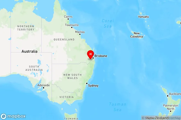
Goomburra, Southern Downs - West, Granite Belt, Darling Downs - Maranoa, Queensland, Australia, 4362
Goomburra Postcode
Area Name
GoomburraGoomburra Suburb Area Map (Polygon)

Goomburra Introduction
Goomburra is a small town in the Darling Downs region of Queensland, Australia. It is known for its scenic beauty, including the Goomburra National Park and the Maranoa River. The town has a population of around 1,000 people and is a popular destination for tourists and outdoor enthusiasts.State Name
City or Big Region
District or Regional Area
Suburb Name
Goomburra Region Map
Country
Main Region in AU
R3Coordinates
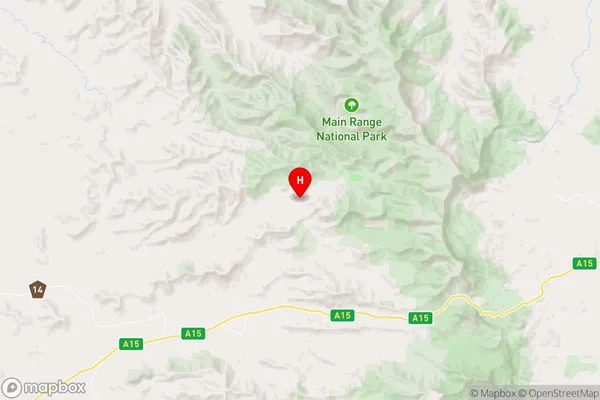
-27.9907614,152.2795234 (latitude/longitude)Goomburra Area Map (Street)
Longitude
151.841358Latitude
-28.050522Goomburra Elevation
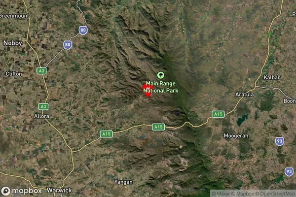
about 488.07 meters height above sea level (Altitude)Goomburra Suburb Map (Satellite)
Distances
The distance from Goomburra, Darling Downs - Maranoa, QLD to AU Greater Capital CitiesSA1 Code 2011
30703118605SA1 Code 2016
30703118605SA2 Code
307031186SA3 Code
30703SA4 Code
307RA 2011
2RA 2016
2MMM 2015
5MMM 2019
5Charge Zone
Q2LGA Region
Southern DownsLGA Code
36660Electorate
Maranoa