Wambo Suburbs & Region, Wambo Map & Postcodes
Wambo Suburbs & Region, Wambo Map & Postcodes in Wambo, Darling Downs East, Darling Downs Maranoa, QLD, AU
Wambo Region
Region Name
Wambo (QLD, AU)Wambo Area
5700 square kilometers (5,700 ㎢)Postal Codes
4405, 4406, 4408, 4410, and 4411 (In total, there are 5 postcodes in Wambo.)Wambo Suburb Area Map (Polygon)

Wambo Introduction
Wambo, Darling Downs Maranoa, Queensland, AU, is a locality in the Darling Downs Region, Queensland, Australia. It is one of the major gateways to the Surat Basin from the Darling Downs. The town is named after the Wambo River, which flows through it. Wambo is a hub for agricultural production, with a number of farms and wineries in the area. The town has a primary school, a post office, a general store, and a hotel. The surrounding countryside is scenic, with the Wambo Range National Park and the Surat Basin National Park both nearby.Australia State
City or Big Region
Greater Capital City
Rest of Qld (3RQLD)District or Regional Area
Suburb Name
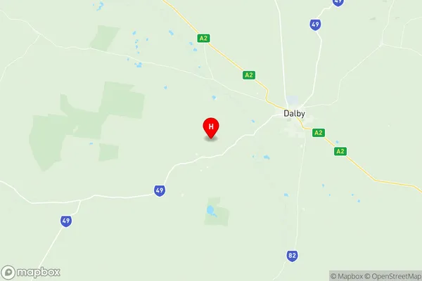
Wambo Region Map
Wambo Postcodes / Zip Codes
Wambo Suburbs
Wambo full address
Wambo, Darling Downs East, Darling Downs Maranoa, Queensland, QLD, Australia, SaCode: 307021183Country
Wambo, Darling Downs East, Darling Downs Maranoa, Queensland, QLD, Australia, SaCode: 307021183
Wambo Suburbs & Region, Wambo Map & Postcodes has 0 areas or regions above, and there are 28 Wambo suburbs below. The sa2code for the Wambo region is 307021183. Its latitude and longitude coordinates are -27.2294,151.101. Wambo area belongs to Australia's greater capital city Rest of Qld.
Wambo Suburbs & Localities
1. Broadwater
2. Ducklo
3. Kupunn
4. Malakoff
5. Mowbullan
6. Jimbour
7. Burra Burri
8. Jinghi
9. Daandine
10. St Ruth
11. Yamsion
12. Diamondy
13. Jandowae
14. Langlands
15. Tuckerang
16. Kumbarilla
17. Pirrinuan
18. Ranges Bridge
19. Moola
20. Bell
21. Dalby
22. Kaimkillenbun
23. Kogan
24. Macalister
25. Cooranga
26. Cooranga North
27. Darr Creek
28. Warra