Jandowae Area, Jandowae Postcode(4410) & Map in Jandowae, Darling Downs - Maranoa, QLD
Jandowae Area, Jandowae Postcode(4410) & Map in Jandowae, Darling Downs - Maranoa, QLD, AU, Postcode: 4410
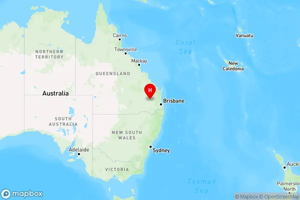
Jandowae, Wambo, Darling Downs - East, Darling Downs - Maranoa, Queensland, Australia, 4410
Jandowae Postcode
Area Name
JandowaeJandowae Suburb Area Map (Polygon)

Jandowae Introduction
Jandowae is a town in the Darling Downs region of Queensland, Australia, located in the Maranoa local government area. It is known for its agricultural industry, particularly wheat and cotton production. The town has a population of around 1,500 people and is home to several schools, a hospital, and a library.State Name
City or Big Region
District or Regional Area
Suburb Name
Jandowae Region Map
Country
Main Region in AU
R3Coordinates
-26.783333,151.1 (latitude/longitude)Jandowae Area Map (Street)

Longitude
151.083543Latitude
-26.731753Jandowae Suburb Map (Satellite)

Distances
The distance from Jandowae, Darling Downs - Maranoa, QLD to AU Greater Capital CitiesSA1 Code 2011
30702118340SA1 Code 2016
30702118391SA2 Code
307021183SA3 Code
30702SA4 Code
307RA 2011
3RA 2016
3MMM 2015
5MMM 2019
5Charge Zone
Q2LGA Region
South BurnettLGA Code
36630Electorate
Maranoa