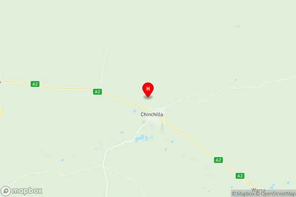
Chinchilla Suburbs & Region, Chinchilla Map & Postcodes
Chinchilla Suburbs & Region, Chinchilla Map & Postcodes in Chinchilla, Brisbane Inner West, Brisbane Inner City, QLD, AU
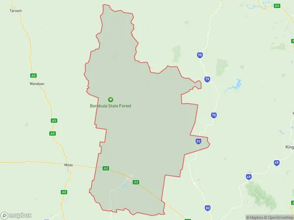
Chinchilla Region
Region Name
Chinchilla (QLD, AU)Chinchilla Area
8049 square kilometers (8,049 ㎢)Postal Codes
4412, and 4413 (In total, there are 2 postcodes in Chinchilla.)Chinchilla Introduction
Chinchilla is a locality in the City of Brisbane, Queensland, Australia. It is located 11 kilometres (6.8 mi) west of the Brisbane CBD. At the 2011 Australian census, Chinchilla had a population of 5,954 people. The locality is named after the Chinchilla River, which flows through it. The river was named by explorer John McDouall Stuart in 1869 after the native chinchilla, a small rodent. Chinchilla is a semi-rural area with a mix of residential and agricultural properties. The main industries in the area are agriculture, particularly sugarcane farming, and livestock farming. There are also a number of small businesses and retail outlets in the area. The Chinchilla State School is located in the locality, and there are also a number of churches and other religious institutions. The Chinchilla Showgrounds are a popular venue for local events and exhibitions. The area is well-serviced by public transport, with the Chinchilla railway station located on the Shorncliffe line. There are also a number of bus routes in the area. Chinchilla is a popular destination for tourists, with a number of attractions in the surrounding area, including the Bunya Mountains National Park, the Kondalilla National Park, and the Mount Superbus Scenic Reserve.Australia State
City or Big Region
Greater Capital City
Rest of Qld (3RQLD)District or Regional Area
Suburb Name
Chinchilla Region Map

Chinchilla Postcodes / Zip Codes
Chinchilla Suburbs
Chinchilla full address
Chinchilla, Brisbane Inner West, Brisbane Inner City, Queensland, QLD, Australia, SaCode: 307011172Country
Chinchilla, Brisbane Inner West, Brisbane Inner City, Queensland, QLD, Australia, SaCode: 307011172
Chinchilla Suburbs & Region, Chinchilla Map & Postcodes has 0 areas or regions above, and there are 25 Chinchilla suburbs below. The sa2code for the Chinchilla region is 307011172. Its latitude and longitude coordinates are -26.702,150.612. Chinchilla area belongs to Australia's greater capital city Rest of Qld.
Chinchilla Suburbs & Localities
1. Baking Board
2. Barakula
3. Hopeland
4. Kragra
5. Pelican
6. Wychie
7. Cadarga
8. Cameby
9. Canaga
10. Chances Plain
11. Durah
12. Fairyland
13. Rywung
14. Auburn
15. Blackswamp
16. Chances Plains
17. Crossroads
18. Red Hill
19. Brigalow
20. Boonarga
21. Burncluith
22. Chinchilla
23. Goombi
24. Greenswamp
25. Sujeewong
