Durah Area, Durah Postcode(4413) & Map in Durah, Darling Downs - Maranoa, QLD
Durah Area, Durah Postcode(4413) & Map in Durah, Darling Downs - Maranoa, QLD, AU, Postcode: 4413
Durah, Chinchilla, Darling Downs (West) - Maranoa, Darling Downs - Maranoa, Queensland, Australia, 4413
Durah Postcode
Area Name
DurahDurah Suburb Area Map (Polygon)
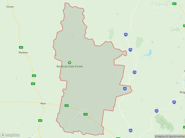
Durah Introduction
Durah is a small town in the Darling Downs region of Queensland, Australia. It is located 25 km north-west of Roma and 18 km south-east of Mitchell. The town has a population of around 1,000 people and is known for its agricultural industry, particularly wheat and cotton. Durah also has a number of historical sites, including the Durah Cemetery and the Durah Hotel.State Name
City or Big Region
District or Regional Area
Suburb Name
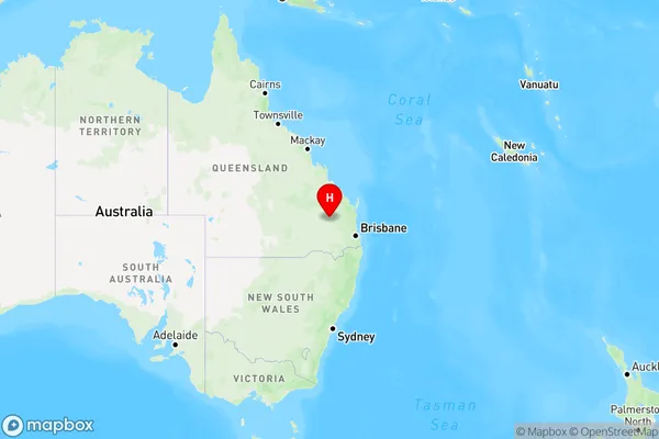
Durah Region Map
Country
Main Region in AU
R3Coordinates
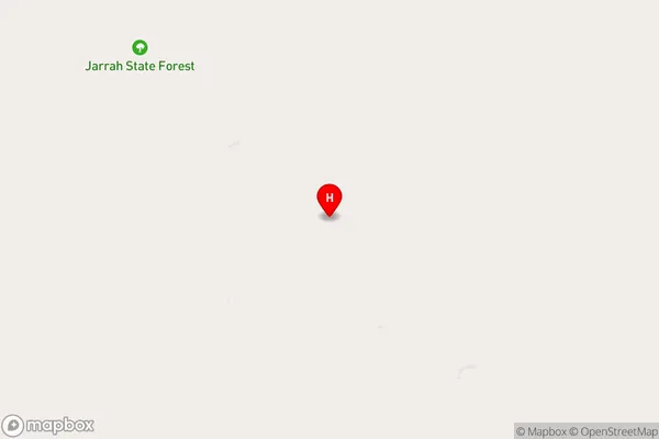
-26.3094502,150.9392457 (latitude/longitude)Durah Area Map (Street)
Longitude
150.638563Latitude
-26.360226Durah Elevation
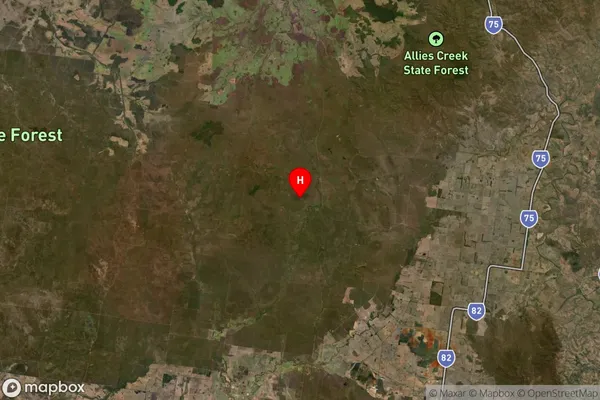
about 322.01 meters height above sea level (Altitude)Durah Suburb Map (Satellite)
Distances
The distance from Durah, Darling Downs - Maranoa, QLD to AU Greater Capital CitiesSA1 Code 2011
30701117217SA1 Code 2016
30701117217SA2 Code
307011172SA3 Code
30701SA4 Code
307RA 2011
4RA 2016
3MMM 2015
6MMM 2019
5Charge Zone
Q2LGA Region
Western DownsLGA Code
37310Electorate
Maranoa