Port Douglas Suburbs & Region, Port Douglas Map & Postcodes
Port Douglas Suburbs & Region, Port Douglas Map & Postcodes in Port Douglas, Port Douglas Daintree, Cairns, QLD, AU
Port Douglas Region
Region Name
Port Douglas (QLD, AU)Port Douglas Area
189.89 square kilometers (189.89 ㎢)Postal Codes
4871, 4873, and 4877 (In total, there are 3 postcodes in Port Douglas.)Port Douglas Suburb Area Map (Polygon)

Port Douglas Introduction
Port Douglas is a coastal town in northeastern Queensland, Australia, 48 km north of Cairns. It is a popular tourist destination known for its beautiful beaches, tropical rainforest, and coral reefs. The town is surrounded by the Douglas Range and the Coral Sea, and is home to a variety of wildlife, including crocodiles, whales, and dugongs. Port Douglas is also a popular base for exploring the Great Barrier Reef, with many snorkeling and diving tours departing from the town. The town has a relaxed and laid-back atmosphere, with a variety of restaurants, cafes, and shops. It is also home to the Port Douglas Marina, which is a major recreational boating hub.Australia State
City or Big Region
Greater Capital City
Rest of Qld (3RQLD)District or Regional Area
Suburb Name
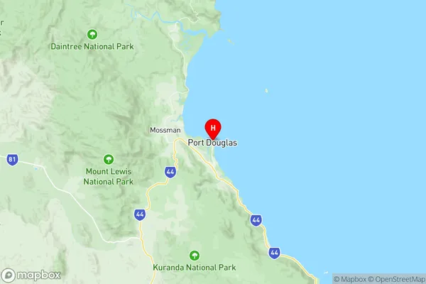
Port Douglas Region Map
Port Douglas Postcodes / Zip Codes
Port Douglas Suburbs
Port Douglas full address
Port Douglas, Port Douglas Daintree, Cairns, Queensland, QLD, Australia, SaCode: 306041165Country
Port Douglas, Port Douglas Daintree, Cairns, Queensland, QLD, Australia, SaCode: 306041165
Port Douglas Suburbs & Region, Port Douglas Map & Postcodes has 0 areas or regions above, and there are 9 Port Douglas suburbs below. The sa2code for the Port Douglas region is 306041165. Its latitude and longitude coordinates are -16.4836,145.465. Port Douglas area belongs to Australia's greater capital city Rest of Qld.
Port Douglas Suburbs & Localities
1. Killaloe
2. Low Isles
3. Mowbray
4. Port Douglas
5. Craiglie
6. Oak Beach
7. Four Mile Beach
8. Wangetti
9. Cassowary