Mowbray Area, Mowbray Postcode(4877) & Map in Mowbray, Cairns, QLD
Mowbray Area, Mowbray Postcode(4877) & Map in Mowbray, Cairns, QLD, AU, Postcode: 4877
Mowbray, Port Douglas, Port Douglas - Daintree, Cairns, Queensland, Australia, 4877
Mowbray Postcode
Area Name
MowbrayMowbray Suburb Area Map (Polygon)

Mowbray Introduction
Mowbray is a suburb of Cairns, Queensland, Australia, located 7 kilometers from the city center. It is known for its natural beauty, including the Mowbray National Park and the Cairns Botanic Gardens. The suburb has a population of approximately 12,000 people and is home to a variety of businesses, including restaurants, cafes, and shops.State Name
City or Big Region
District or Regional Area
Suburb Name
Mowbray Region Map

Country
Main Region in AU
R3Coordinates
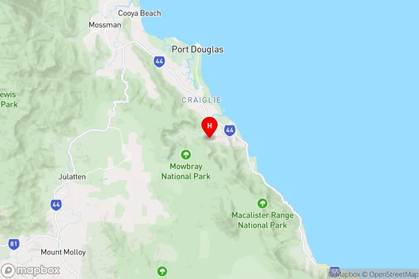
-16.5696986,145.4755485 (latitude/longitude)Mowbray Area Map (Street)
Longitude
145.467604Latitude
-16.535286Mowbray Elevation
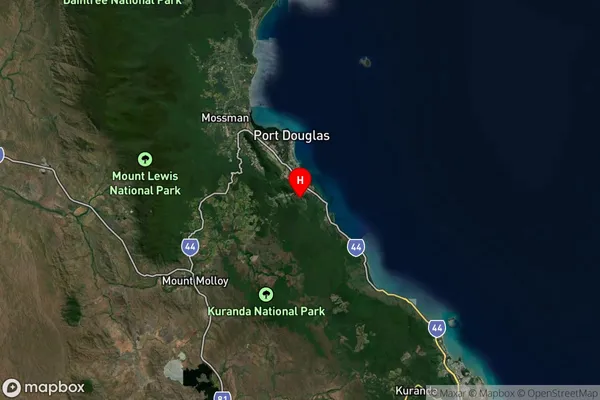
about 6.85 meters height above sea level (Altitude)Mowbray Suburb Map (Satellite)
Distances
The distance from Mowbray, Cairns, QLD to AU Greater Capital CitiesSA1 Code 2011
30604116511SA1 Code 2016
30604116511SA2 Code
306041165SA3 Code
30604SA4 Code
306RA 2011
3RA 2016
3MMM 2015
5MMM 2019
5Charge Zone
Q4LGA Region
DouglasLGA Code
32810Electorate
Leichhardt