Daintree Suburbs & Region, Daintree Map & Postcodes
Daintree Suburbs & Region, Daintree Map & Postcodes in Daintree, Port Douglas Daintree, Cairns, QLD, AU
Daintree Region
Region Name
Daintree (QLD, AU)Daintree Area
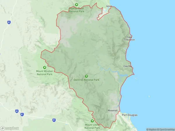
2231 square kilometers (2,231 ㎢)Daintree Suburb Area Map (Polygon)
Daintree Introduction
Daintree National Park is a tropical rainforest in northeastern Queensland, Australia. It is the oldest and largest tropical rainforest in the world, covering an area of 1,429 square kilometers. The park is home to a diverse range of plant and animal species, including the iconic crocodile, tree kangaroo, and cassowary. It is also known for its stunning waterfalls, including the famous Mossman Gorge. The park is a popular destination for tourists, with many hiking trails and guided tours available. It is also a significant conservation area, with efforts underway to protect the rainforest and its unique biodiversity.Australia State
City or Big Region
Greater Capital City
Rest of Qld (3RQLD)District or Regional Area
Suburb Name
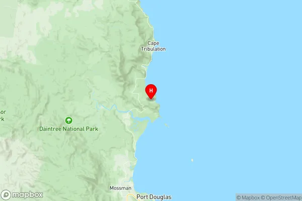
Daintree Region Map
Daintree Suburbs
Daintree full address
Daintree, Port Douglas Daintree, Cairns, Queensland, QLD, Australia, SaCode: 306041164Country
Daintree, Port Douglas Daintree, Cairns, Queensland, QLD, Australia, SaCode: 306041164
Daintree Suburbs & Region, Daintree Map & Postcodes has 0 areas or regions above, and there are 0 Daintree suburbs below. The sa2code for the Daintree region is 306041164. Its latitude and longitude coordinates are -16.2319,145.456. Daintree area belongs to Australia's greater capital city Rest of Qld.