Diwan Area, Diwan Postcode(4873) & Map in Diwan, Cairns, QLD
Diwan Area, Diwan Postcode(4873) & Map in Diwan, Cairns, QLD, AU, Postcode: 4873
Diwan, Daintree, Port Douglas - Daintree, Cairns, Queensland, Australia, 4873
Diwan Postcode
Area Name
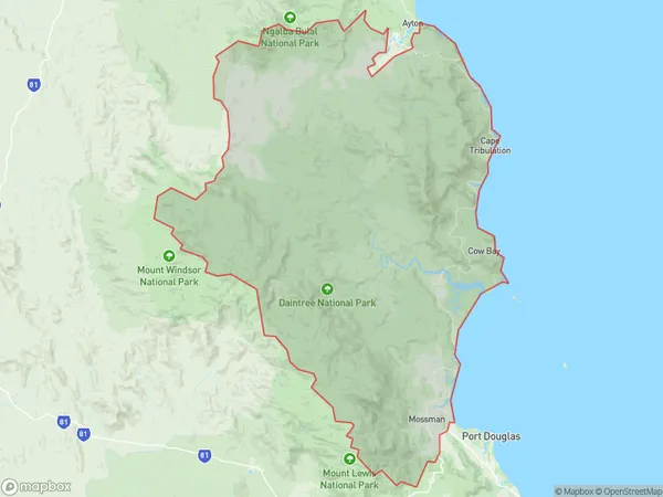
DiwanDiwan Suburb Area Map (Polygon)
Diwan Introduction
Diwan is a popular Indian restaurant in Cairns, QLD, AU, known for its delicious and authentic cuisine. The menu features a range of traditional Indian dishes, including curries, naan bread, and tandoori chicken, as well as vegetarian options. The restaurant has a warm and welcoming atmosphere, with friendly staff who are always happy to help.State Name
City or Big Region
District or Regional Area
Suburb Name
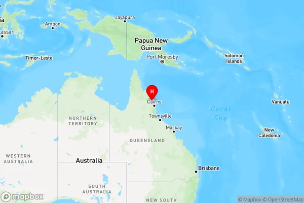
Diwan Region Map
Country
Main Region in AU
R3Coordinates
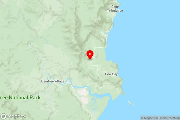
-16.2017584,145.4049437 (latitude/longitude)Diwan Area Map (Street)
Longitude
145.299094Latitude
-16.230854Diwan Elevation
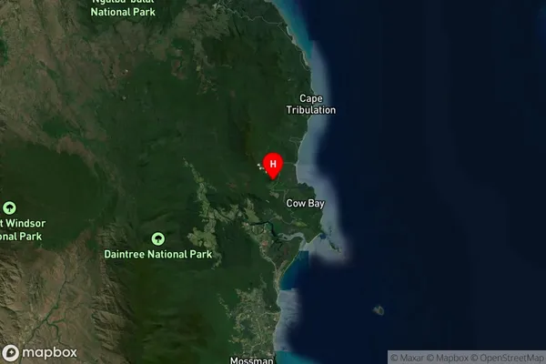
about 32.23 meters height above sea level (Altitude)Diwan Suburb Map (Satellite)
Distances
The distance from Diwan, Cairns, QLD to AU Greater Capital CitiesSA1 Code 2011
30604116409SA1 Code 2016
30604116409SA2 Code
306041164SA3 Code
30604SA4 Code
306RA 2011
4RA 2016
4MMM 2015
6MMM 2019
6Charge Zone
Q4LGA Region
DouglasLGA Code
32810Electorate
Leichhardt