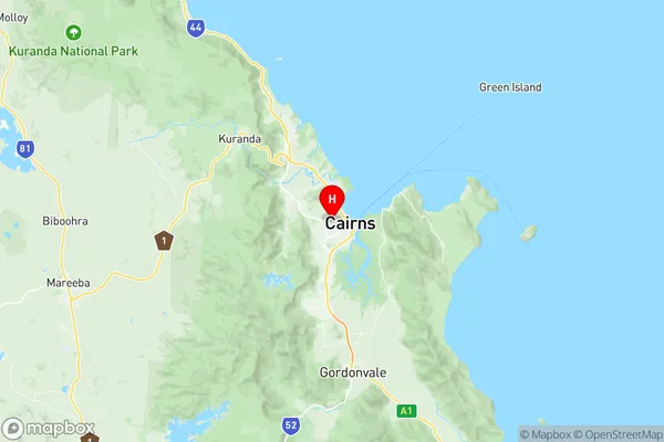
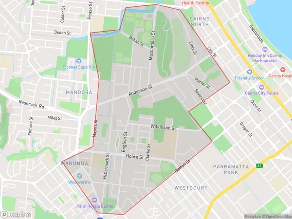
Manunda Suburbs & Region, Manunda Map & Postcodes
Manunda Suburbs & Region, Manunda Map & Postcodes in Manunda, Cairns South, Cairns, QLD, AU
Manunda Region
Region Name
Manunda (QLD, AU)Manunda Area
4.25 square kilometers (4.25 ㎢)Postal Codes
4870 (In total, there are 1 postcodes in Manunda.)Manunda Introduction
Manunda is a suburb in the Cairns Region, Queensland, Australia. It is located 7 kilometers north of Cairns City. At the 2011 Australian census, Manunda had a population of 4,729 people. The suburb is named after the Manunda River, which flows through it. The river was named by the indigenous Yidinji people, who called it "Warramunga," meaning "watering place." Manunda is a popular residential area with a mix of modern homes and older Queenslander-style houses. It has a variety of shops, restaurants, and cafes, as well as a medical center and a library. The suburb also has several parks and recreational facilities, including a cricket club, soccer field, and tennis courts. Manunda is located within the Cairns City Council area and is represented by two councillors on the council. The suburb is served by several bus routes and has a train station on the Cairns City Rail Line.Australia State
City or Big Region
Greater Capital City
Rest of Qld (3RQLD)District or Regional Area
Suburb Name
Manunda Region Map

Manunda Postcodes / Zip Codes
Manunda Suburbs
Manunda full address
Manunda, Cairns South, Cairns, Queensland, QLD, Australia, SaCode: 306021152Country
Manunda, Cairns South, Cairns, Queensland, QLD, Australia, SaCode: 306021152
Manunda Suburbs & Region, Manunda Map & Postcodes has 0 areas or regions above, and there are 1 Manunda suburbs below. The sa2code for the Manunda region is 306021152. Its latitude and longitude coordinates are -16.9182,145.75. Manunda area belongs to Australia's greater capital city Rest of Qld.
Manunda Suburbs & Localities
1. Manunda
