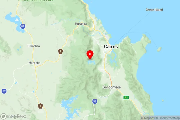
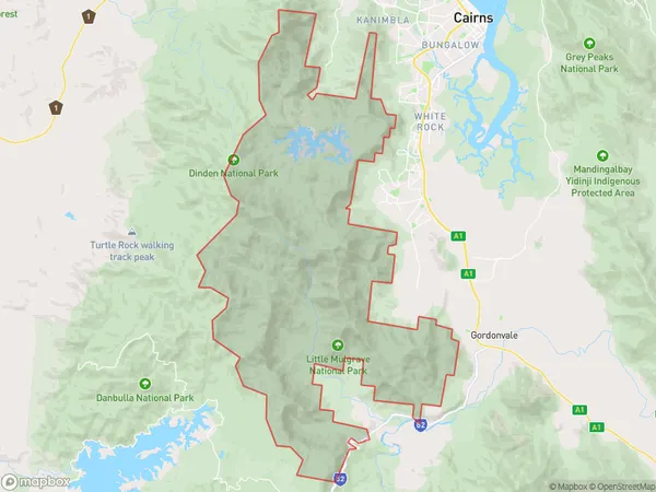
Lamb Range Suburbs & Region, Lamb Range Map & Postcodes
Lamb Range Suburbs & Region, Lamb Range Map & Postcodes in Lamb Range, Cairns South, Cairns, QLD, AU
Lamb Range Region
Region Name
Lamb Range (QLD, AU)Lamb Range Area
212.64 square kilometers (212.64 ㎢)Postal Codes
4870 (In total, there are 1 postcodes in Lamb Range.)Lamb Range Introduction
Lamb Range is a mountain range located in the Cairns Region, Queensland, Australia. It is part of the Great Dividing Range and is situated about 100 kilometers northwest of Cairns. The range is named after the Lamb River, which flows through it. The Lamb Range is a popular destination for outdoor enthusiasts, with many walking tracks and campgrounds. The highest peak in the range is Mount Superbus, which reaches an elevation of 1,488 meters. The range is also home to a variety of wildlife, including kangaroos, wallabies, and bird species. The Lamb Range is a significant geological feature, with many ancient rocks and minerals found in the area. The range is also a popular filming location, with several movies and TV shows having been shot in the area.Australia State
City or Big Region
Greater Capital City
Rest of Qld (3RQLD)District or Regional Area
Suburb Name
Lamb Range Region Map

Lamb Range Postcodes / Zip Codes
Lamb Range Suburbs
Lamb Range full address
Lamb Range, Cairns South, Cairns, Queensland, QLD, Australia, SaCode: 306021150Country
Lamb Range, Cairns South, Cairns, Queensland, QLD, Australia, SaCode: 306021150
Lamb Range Suburbs & Region, Lamb Range Map & Postcodes has 0 areas or regions above, and there are 1 Lamb Range suburbs below. The sa2code for the Lamb Range region is 306021150. Its latitude and longitude coordinates are -16.9795,145.677. Lamb Range area belongs to Australia's greater capital city Rest of Qld.
Lamb Range Suburbs & Localities
1. Lamb Range
