Edmonton Suburbs & Region, Edmonton Map & Postcodes
Edmonton Suburbs & Region, Edmonton Map & Postcodes in Edmonton, Cairns South, Cairns, QLD, AU
Edmonton Region
Region Name
Edmonton (QLD, AU)Edmonton Area
20 square kilometers (20 ㎢)Edmonton Introduction
Edmonton is a suburb in the City of Edmonton, Queensland, Australia. It is located 8 kilometers north of the Brisbane CBD. The suburb has a population of 4,123 people and is one of the largest in the City of Edmonton. The suburb is named after Edmonton, Alberta, Canada. The suburb has a variety of housing options, including single-family homes, apartments, and townhouses. There are also several parks and recreational facilities in the suburb, including the Edmonton Golf Club and the Edmonton Botanic Gardens. The suburb is also home to several major shopping centers, including the Westfield Shoppingtown and the Kmart Supercenter. The suburb is well-connected to the rest of Brisbane, with several bus and train routes passing through it. The Brisbane Airport is also located within the suburb, making it easy to access other parts of the world.Australia State
City or Big Region
Greater Capital City
Rest of Qld (3RQLD)District or Regional Area
Suburb Name
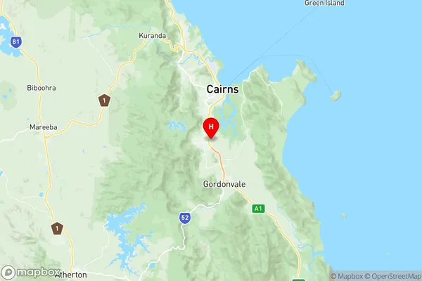
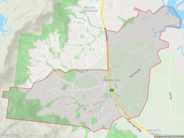
Edmonton Region Map

Edmonton Suburbs
Edmonton full address
Edmonton, Cairns South, Cairns, Queensland, QLD, Australia, SaCode: 306021147Country
Edmonton, Cairns South, Cairns, Queensland, QLD, Australia, SaCode: 306021147
Edmonton Suburbs & Region, Edmonton Map & Postcodes has 0 areas or regions above, and there are 0 Edmonton suburbs below. The sa2code for the Edmonton region is 306021147. Its latitude and longitude coordinates are -17.0167,145.75. Edmonton area belongs to Australia's greater capital city Rest of Qld.
