Red Hill (Qld) Suburbs & Region, Red Hill (Qld) Map & Postcodes
Red Hill (Qld) Suburbs & Region, Red Hill (Qld) Map & Postcodes in Red Hill (Qld), Brisbane Inner West, Brisbane Inner City, QLD, AU
Red Hill (Qld) Region
Region Name
Red Hill (Qld) (QLD, AU)Red Hill (Qld) Area
1.69 square kilometers (1.69 ㎢)Postal Codes
4059 (In total, there are 1 postcodes in Red Hill (Qld).)Red Hill (Qld) Introduction
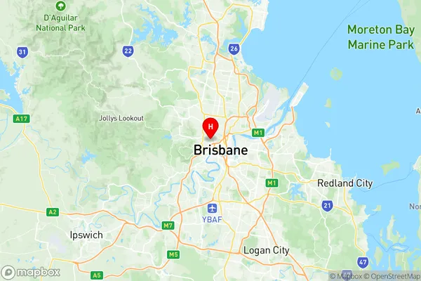
Red Hill is a suburb in the City of Brisbane, Queensland, Australia. It is located 4 kilometers southeast of the Brisbane CBD and is part of the Brisbane Inner City Region. The suburb is named after the Red Hill Reserve, which is a large parkland area that provides a scenic lookout over the city. Red Hill has a rich history and was once home to the Kulin Aboriginal people. The suburb has a variety of housing styles, including historic Queenslander homes and modern apartments. It is also home to a number of schools, including Red Hill State School and St. Joseph's College. Red Hill is well-connected to the rest of the city by public transport, with the suburb located within walking distance of the Brisbane CBD and the South Bank Parklands.Australia State
City or Big Region
Greater Capital City
Greater Brisbane (3GBRI)District or Regional Area
Suburb Name
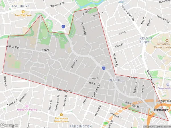
Red Hill (Qld) Region Map

Red Hill (Qld) Postcodes / Zip Codes
Red Hill (Qld) Suburbs
Red Hill (Qld) full address
Red Hill (Qld), Brisbane Inner West, Brisbane Inner City, Queensland, QLD, Australia, SaCode: 305041136Country
Red Hill (Qld), Brisbane Inner West, Brisbane Inner City, Queensland, QLD, Australia, SaCode: 305041136
Red Hill (Qld) Suburbs & Region, Red Hill (Qld) Map & Postcodes has 0 areas or regions above, and there are 3 Red Hill (Qld) suburbs below. The sa2code for the Red Hill (Qld) region is 305041136. Its latitude and longitude coordinates are -27.4525,153.004. Red Hill (Qld) area belongs to Australia's greater capital city Greater Brisbane.
Red Hill (Qld) Suburbs & Localities
1. Ithaca
2. Kelvin Grove
3. Red Hill
