Red Hill Area, Red Hill Postcode(4059) & Map in Red Hill, Brisbane Inner City, QLD
Red Hill Area, Red Hill Postcode(4059) & Map in Red Hill, Brisbane Inner City, QLD, AU, Postcode: 4059
Red Hill, Red Hill (Qld), Brisbane Inner - West, Brisbane Inner City, Queensland, Australia, 4059
Red Hill Postcode
Area Name
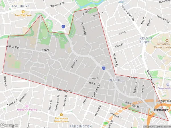
Red HillRed Hill Suburb Area Map (Polygon)

Red Hill Introduction
Red Hill is a suburb in the inner city of Brisbane, Queensland, Australia. It is known for its historic architecture, leafy streets, and vibrant arts scene. The suburb is home to the Red Hill Institute, a tertiary education institution, and the Queensland University of Technology. It is also home to a number of parks and recreational facilities, including the Red Hill Conservation Park and the Red Hill Botanical Gardens.State Name
City or Big Region
District or Regional Area
Suburb Name
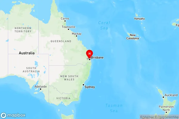
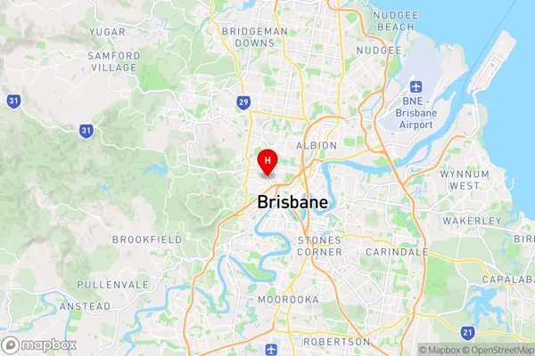
Red Hill Region Map

Country
Main Region in AU
R1Coordinates
-27.4525313,153.0044563 (latitude/longitude)Red Hill Area Map (Street)

Longitude
153.008893Latitude
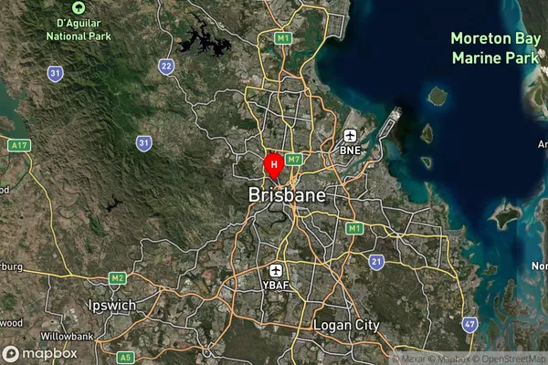
-27.452067Red Hill Suburb Map (Satellite)

Distances
The distance from Red Hill, Brisbane Inner City, QLD to AU Greater Capital CitiesSA1 Code 2011
30504113610SA1 Code 2016
30504113610SA2 Code
305041136SA3 Code
30504SA4 Code
305RA 2011
1RA 2016
1MMM 2015
1MMM 2019
1Charge Zone
Q1LGA Region
BrisbaneLGA Code
31000Electorate
Brisbane