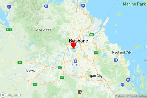
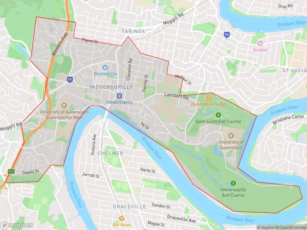
Indooroopilly Suburbs & Region, Indooroopilly Map & Postcodes
Indooroopilly Suburbs & Region, Indooroopilly Map & Postcodes in Indooroopilly, Brisbane Inner West, Brisbane Inner City, QLD, AU
Indooroopilly Region
Region Name
Indooroopilly (QLD, AU)Indooroopilly Area
7.35 square kilometers (7.35 ㎢)Postal Codes
4068 (In total, there are 1 postcodes in Indooroopilly.)Indooroopilly Introduction
Indooroopilly is a suburb in the City of Brisbane, Queensland, Australia. It is 6 km west of the Brisbane CBD and is part of the Brisbane Inner City. Indooroopilly is known for its leafy streets, high-quality housing, and prestigious schools. It is home to the University of Queensland and several other educational institutions. The suburb has a variety of shopping centers, including the Indooroopilly Shopping Centre and The Gabba. It also has a number of parks and recreational facilities, including the Brisbane Botanic Gardens and the Kenmore Reservoir. Indooroopilly is a popular residential area for professionals and families, with a mix of old and new buildings.Australia State
City or Big Region
Greater Capital City
Greater Brisbane (3GBRI)District or Regional Area
Suburb Name
Indooroopilly Region Map

Indooroopilly Postcodes / Zip Codes
Indooroopilly Suburbs
Indooroopilly full address
Indooroopilly, Brisbane Inner West, Brisbane Inner City, Queensland, QLD, Australia, SaCode: 304031094Country
Indooroopilly, Brisbane Inner West, Brisbane Inner City, Queensland, QLD, Australia, SaCode: 304031094
Indooroopilly Suburbs & Region, Indooroopilly Map & Postcodes has 0 areas or regions above, and there are 3 Indooroopilly suburbs below. The sa2code for the Indooroopilly region is 304031094. Its latitude and longitude coordinates are -27.5097,152.996. Indooroopilly area belongs to Australia's greater capital city Greater Brisbane.
Indooroopilly Suburbs & Localities
1. Long Pocket
2. Indooroopilly
3. Indooroopilly Centre
