Indooroopilly Centre Area, Indooroopilly Centre Postcode(4068) & Map in Indooroopilly Centre, Brisbane - West, QLD
Indooroopilly Centre Area, Indooroopilly Centre Postcode(4068) & Map in Indooroopilly Centre, Brisbane - West, QLD, AU, Postcode: 4068
Indooroopilly Centre, Indooroopilly, Sherwood - Indooroopilly, Brisbane - West, Queensland, Australia, 4068
Indooroopilly Centre Postcode
Area Name
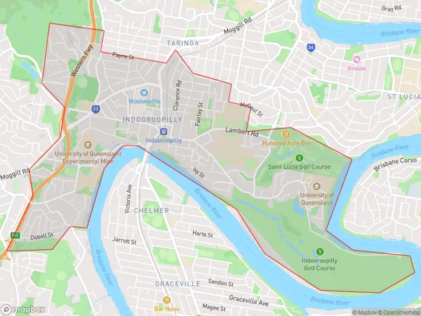
Indooroopilly CentreIndooroopilly Centre Suburb Area Map (Polygon)

Indooroopilly Centre Introduction
Indooroopilly Centre is a major shopping centre located in Brisbane's western suburbs, offering a wide range of retail stores, restaurants, and entertainment options. It is anchored by major supermarkets, department stores, and a cinema complex. The centre has undergone significant redevelopment in recent years, including the addition of new stores and facilities.State Name
City or Big Region
District or Regional Area
Suburb Name
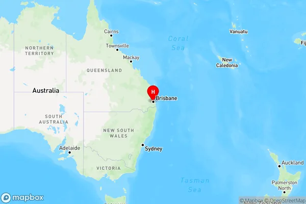
Indooroopilly Centre Region Map

Country
Main Region in AU
R1Coordinates
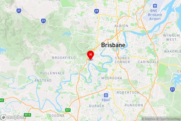
-27.5001761,152.9721547 (latitude/longitude)Indooroopilly Centre Area Map (Street)

Longitude
152.976926Latitude
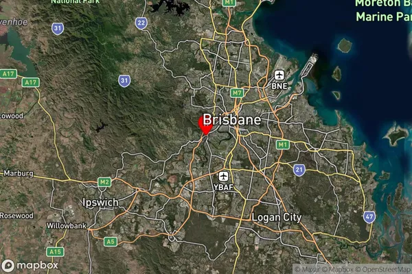
-27.506907Indooroopilly Centre Suburb Map (Satellite)

Distances
The distance from Indooroopilly Centre, Brisbane - West, QLD to AU Greater Capital CitiesSA1 Code 2011
30403109416SA1 Code 2016
30403109416SA2 Code
304031094SA3 Code
30403SA4 Code
304RA 2011
1RA 2016
1MMM 2015
1MMM 2019
1Charge Zone
Q1LGA Region
BrisbaneLGA Code
31000Electorate
Ryan