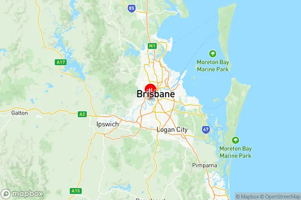
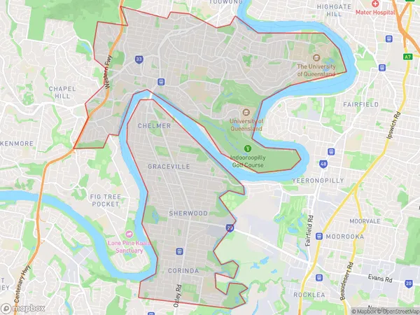
Sherwood Indooroopilly Suburbs & Region, Sherwood Indooroopilly Map & Postcodes
Sherwood Indooroopilly Suburbs & Region, Sherwood Indooroopilly Map & Postcodes in Sherwood Indooroopilly, Brisbane West, QLD, AU
Sherwood Indooroopilly Region
Region Name
Sherwood Indooroopilly (QLD, AU)Sherwood Indooroopilly Area
21.3 square kilometers (21.3 ㎢)Postal Codes
4067, 4072, and 4106 (In total, there are 3 postcodes in Sherwood Indooroopilly.)Sherwood Indooroopilly Introduction
Sherwood Indooroopilly is a suburb in the City of Brisbane, Queensland, Australia. It is located 7 kilometers west of the Brisbane CBD and is part of the Brisbane West Region. The suburb is named after Sherwood, a locality in the Brisbane Valley. It is known for its high-quality housing, leafy streets, and excellent shopping and dining options. The suburb has a population of around 10,000 people and is home to several prestigious schools, including Indooroopilly State High School and St. Joseph's College. It is also home to the Indooroopilly Shopping Centre, which is one of the largest shopping centres in the Brisbane region.Australia State
City or Big Region
District or Regional Area
Sherwood Indooroopilly Region Map

Sherwood Indooroopilly Postcodes / Zip Codes
Sherwood Indooroopilly Suburbs
Sherwood Indooroopilly full address
Sherwood Indooroopilly, Brisbane West, Queensland, QLD, Australia, SaCode: 30403Country
Sherwood Indooroopilly, Brisbane West, Queensland, QLD, Australia, SaCode: 30403
Sherwood Indooroopilly Suburbs & Region, Sherwood Indooroopilly Map & Postcodes has 1 areas or regions above, and there are 7 Sherwood Indooroopilly suburbs below. The sa3code for the Sherwood Indooroopilly region is 30403. Its latitude and longitude coordinates are -27.4987,152.996.
Sherwood Indooroopilly Suburbs & Localities
1. Ironside
2. St Lucia
3. St Lucia South
4. University Of Queensland
5. Rocklea
6. Rocklea Dc
7. Brisbane Market
