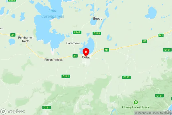
Colac Suburbs & Region, Colac Map & Postcodes
Colac Suburbs & Region, Colac Map & Postcodes in Colac, Warrnambool Otway Ranges, Warrnambool and South West, VIC, AU
Colac Region
Region Name
Colac (VIC, AU)Colac Area
54.73 square kilometers (54.73 ㎢)Postal Codes
3249, and 3250 (In total, there are 2 postcodes in Colac.)Colac Introduction
Colac, Warrnambool, and South West Victoria is a region in southwest Victoria, Australia. It is located on the western coast of the state and includes the cities of Colac, Warrnambool, and the surrounding towns and villages. The region is known for its agriculture, with a focus on dairy farming, beef cattle, and sheep production. It is also home to several wineries and breweries, as well as the Great Ocean Road, a popular tourist destination. The region has a population of approximately 400,000 people and is located approximately 250 kilometers west of Melbourne.Australia State
City or Big Region
Greater Capital City
Rest of Vic. (2RVIC)District or Regional Area
Suburb Name
Colac Region Map

Colac Postcodes / Zip Codes
Colac Suburbs
Colac full address
Colac, Warrnambool Otway Ranges, Warrnambool and South West, Victoria, VIC, Australia, SaCode: 217031472Country
Colac, Warrnambool Otway Ranges, Warrnambool and South West, Victoria, VIC, Australia, SaCode: 217031472
Colac Suburbs & Region, Colac Map & Postcodes has 0 areas or regions above, and there are 5 Colac suburbs below. The sa2code for the Colac region is 217031472. Its latitude and longitude coordinates are -38.341,143.585. Colac area belongs to Australia's greater capital city Rest of Vic..
Colac Suburbs & Localities
1. Colac
2. Yeo
3. Colac West
4. Elliminyt
5. Colac East
