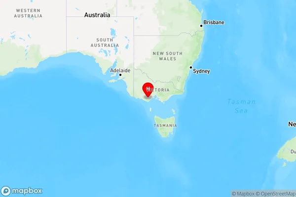
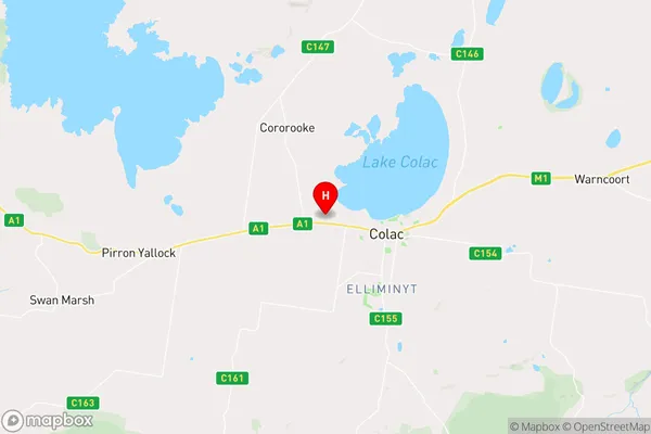
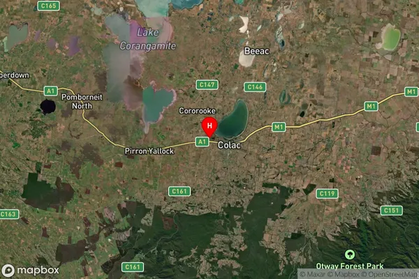
Colac West Area, Colac West Postcode(3250) & Map in Colac West, Warrnambool and South West, VIC
Colac West Area, Colac West Postcode(3250) & Map in Colac West, Warrnambool and South West, VIC, AU, Postcode: 3250
Colac West, Colac, Colac - Corangamite, Warrnambool and South West, Victoria, Australia, 3250
Colac West Postcode
Area Name
Colac WestColac West Suburb Area Map (Polygon)

Colac West Introduction
Colac West, Warrnambool and South West is a locality in Victoria, Australia. It is located in the City of Warrnambool local government area. The postcode for Colac West is 3250. As of the 2016 census, Colac West had a population of 1,679. It is a primarily residential area, with a mix of houses and apartments. The area has several parks and recreational facilities, including a golf course and a swimming pool. Colac West is located about 25 kilometers west of Warrnambool and 300 kilometers south-west of Melbourne.State Name
City or Big Region
District or Regional Area
Suburb Name
Colac West Region Map

Country
Main Region in AU
R3Coordinates
-38.3315126,143.5473322 (latitude/longitude)Colac West Area Map (Street)

Longitude
143.584742Latitude
-38.311513Colac West Suburb Map (Satellite)

Distances
The distance from Colac West, Warrnambool and South West, VIC to AU Greater Capital CitiesSA1 Code 2011
21702142531SA1 Code 2016
21703147228SA2 Code
217031472SA3 Code
21703SA4 Code
217RA 2011
2RA 2016
2MMM 2015
4MMM 2019
4Charge Zone
V2LGA Region
Colac OtwayLGA Code
21750Electorate
Wannon