Robinvale Suburbs & Region, Robinvale Map & Postcodes
Robinvale Suburbs & Region, Robinvale Map & Postcodes in Robinvale, Murray River Swan Hill, North West, VIC, AU
Robinvale Region
Region Name
Robinvale (VIC, AU)Robinvale Area
181.6 square kilometers (181.6 ㎢)Postal Codes
3549 (In total, there are 1 postcodes in Robinvale.)Robinvale Introduction
Robinvale is a locality in the local government area of the Shire of Buloke, Victoria, Australia. It is located 155 km north-west of Melbourne, and 22 km north-east of the state capital, Bendigo. The post office opened as Robinvale on 1 July 1892 and was closed on 1 March 1971. The Robinvale railway station was on the North East line. Robinvale is a wheat growing area with some sheep and cattle farming. The town has a primary school, a general store, a post office, a hotel, and a cricket club. The nearest railway station is in Wedderburn. Robinvale is named after the Robinvale River, which flows through the town. The river was named by the explorer William Hovell after the robin, which is a bird native to Australia.Australia State
City or Big Region
Greater Capital City
Rest of Vic. (2RVIC)District or Regional Area
Suburb Name
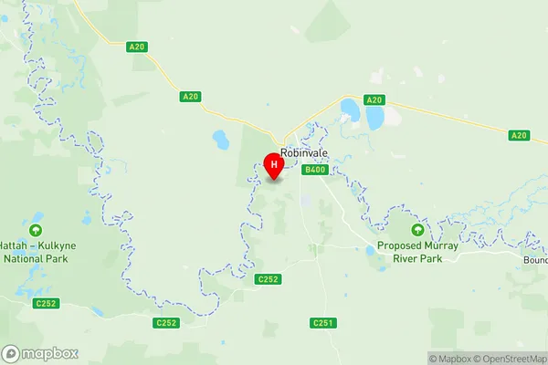
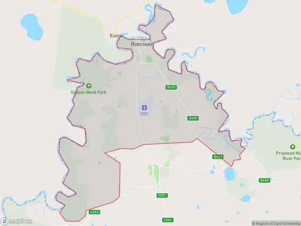
Robinvale Region Map

Robinvale Postcodes / Zip Codes
Robinvale Suburbs
Robinvale full address
Robinvale, Murray River Swan Hill, North West, Victoria, VIC, Australia, SaCode: 215031403Country
Robinvale, Murray River Swan Hill, North West, Victoria, VIC, Australia, SaCode: 215031403
Robinvale Suburbs & Region, Robinvale Map & Postcodes has 0 areas or regions above, and there are 7 Robinvale suburbs below. The sa2code for the Robinvale region is 215031403. Its latitude and longitude coordinates are -34.6208,142.729. Robinvale area belongs to Australia's greater capital city Rest of Vic..
Robinvale Suburbs & Localities
1. Happy Valley
2. Robinvale Irrigation District Section C
3. Tol Tol
4. Robinvale Irrigation District Section D
5. Robinvale Irrigation District Section E
6. Robinvale
7. Robinvale Irrigation District Section B
