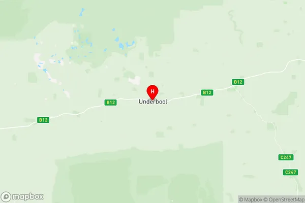
Mildura Region Suburbs & Region, Mildura Region Map & Postcodes
Mildura Region Suburbs & Region, Mildura Region Map & Postcodes in Mildura Region, Murray River Swan Hill, North West, VIC, AU
Mildura Region Region
Region Name
Mildura Region (VIC, AU)Mildura Region Area
21569 square kilometers (21,569 ㎢)Postal Codes
3490, 3491, 3494, 3496, 3501, from 3505 to 3507, 3509, 3512, and 3533 (In total, there are 11 postcodes in Mildura Region.)Mildura Region Introduction
Mildura Region is a regional area of Victoria, Australia. It is located in the north-west of the state and is named after the city of Mildura. The region covers an area of approximately 10,500 square kilometers and has a population of around 310,000 people. Mildura is the administrative center of the region and is known for its agriculture, particularly its wine and fruit production. The region also has a number of tourist attractions, including the Mildura Sunraysia Food and Wine Trail, the Mildura National Park, and the Mildura Weir.Australia State
City or Big Region
Greater Capital City
Rest of Vic. (2RVIC)District or Regional Area
Suburb Name
Mildura Region Region Map

Mildura Region Postcodes / Zip Codes
Mildura Region Suburbs
Mildura Region full address
Mildura Region, Murray River Swan Hill, North West, Victoria, VIC, Australia, SaCode: 215021398Country
Mildura Region, Murray River Swan Hill, North West, Victoria, VIC, Australia, SaCode: 215021398
Mildura Region Suburbs & Region, Mildura Region Map & Postcodes has 0 areas or regions above, and there are 31 Mildura Region suburbs below. The sa2code for the Mildura Region region is 215021398. Its latitude and longitude coordinates are -35.1707,141.808. Mildura Region area belongs to Australia's greater capital city Rest of Vic..
Mildura Region Suburbs & Localities
1. Boinka
2. Torrita
3. Nangiloc
4. Lindsay Point
5. Linga
6. Kulwin
7. Mittyack
8. Ouyen
9. Iraak
10. Merrinee
11. Neds Corner
12. Hattah
13. Walpeup
14. Carwarp
15. Cullulleraine
16. Meringur
17. Werrimull
18. Wargan
19. Cowangie
20. Big Desert
21. Murray Sunset
22. Tutye
23. Patchewollock
24. Colignan
25. Murray Lock No 9
26. Koorlong
27. Underbool
28. Carina
29. Panitya
30. Murrayville
31. Mittyack
