Yarriambiack Suburbs & Region, Yarriambiack Map & Postcodes
Yarriambiack Suburbs & Region, Yarriambiack Map & Postcodes in Yarriambiack, Mildura, North West, VIC, AU
Yarriambiack Region
Region Name
Yarriambiack (VIC, AU)Yarriambiack Area
7140 square kilometers (7,140 ㎢)Postal Codes
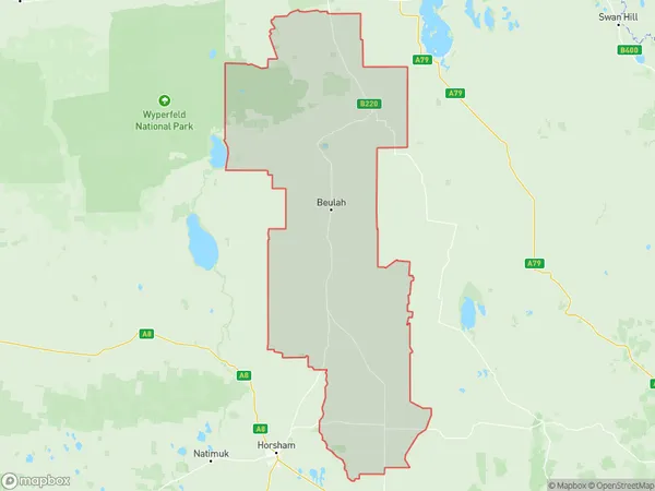
3381, 3385, 3388, from 3390 to 3393, 3395, 3396, 3401, 3424, 3480, 3485, and from 3487 to 3489 (In total, there are 16 postcodes in Yarriambiack.)Yarriambiack Suburb Area Map (Polygon)
Yarriambiack Introduction
Yarriambiack is a locality in the local government area of the Shire of Buloke, Victoria, Australia. It is located 34 km north-east of the state capital, Melbourne. The post office opened as Yarriambiack on 1 November 1891 and was closed on 1 October 1976. The present post office opened on 1 October 1977 and was closed on 1 February 1994. The name Yarriambiack is derived from the Aboriginal word 'Jarrambeek', meaning 'place of water'. The area was first settled by Europeans in the 1840s, with the first squatter taking up land in 1842. The township was surveyed in 1855 and named after the nearby Yarriambiack Creek. The creek was named after the Aboriginal word 'Jarrambeek', which means 'place of water'. The Yarriambiack Creek flows through the locality and is a major source of water for the area. The creek is also home to a variety of wildlife, including fish, birds, and mammals. The locality is surrounded by farmland and is a popular destination for outdoor activities such as hiking, camping, and fishing. The Yarriambiack Football Club is based in the locality and competes in the Buloke Football League. The club was founded inAustralia State
City or Big Region
Greater Capital City
Rest of Vic. (2RVIC)District or Regional Area
Suburb Name
Yarriambiack Region Map
Yarriambiack Postcodes / Zip Codes
Yarriambiack Suburbs
Yarriambiack full address
Yarriambiack, Mildura, North West, Victoria, VIC, Australia, SaCode: 215011394Country
Yarriambiack, Mildura, North West, Victoria, VIC, Australia, SaCode: 215011394
Yarriambiack Suburbs & Region, Yarriambiack Map & Postcodes has 0 areas or regions above, and there are 34 Yarriambiack suburbs below. The sa2code for the Yarriambiack region is 215011394. Its latitude and longitude coordinates are -36.3314,142.361. Yarriambiack area belongs to Australia's greater capital city Rest of Vic..
Yarriambiack Suburbs & Localities
1. Lubeck
2. Lubeck
3. Rupanyup
4. Kewell
5. Murtoa
6. Brim
7. Boolite
8. Minyip
9. Sheep Hills
10. Ailsa
11. Angip
12. Aubrey
13. Bangerang
14. Cannum
15. Crymelon
16. Kellalac
17. Lah
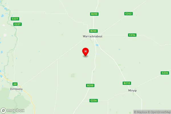
18. Warracknabeal
19. Wilkur
20. Willenabrina
21. Beulah
22. Rosebery
23. Hopetoun
24. Hopevale
25. Yarto
26. Wallup
27. Yaapeet
28. Areegra
29. Boolite
30. Woomelang
31. Lascelles
32. Speed
33. Turriff
34. Tempy