Minyip Area, Minyip Postcode(3392) & Map in Minyip, North West, VIC
Minyip Area, Minyip Postcode(3392) & Map in Minyip, North West, VIC, AU, Postcode: 3392
Minyip, Yarriambiack, Grampians, North West, Victoria, Australia, 3392
Minyip Postcode
Area Name
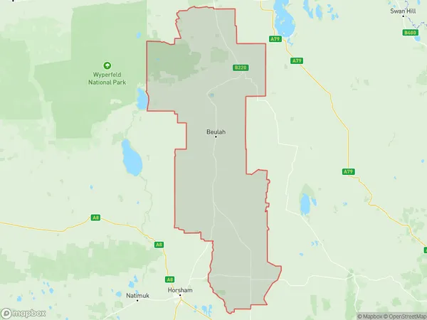
MinyipMinyip Suburb Area Map (Polygon)

Minyip Introduction
Minyip is a small township in the North West region of Victoria, Australia. It is located in the Shire of Buloke, approximately 250 kilometers north-west of Melbourne. The town is surrounded by farmland and has a population of around 1,000 people. Minyip has a primary school, a post office, a general store, and a community hall. The town is also home to the Minyip Football Club and the Minyip Cricket Club. The nearest major town is Warracknabeal, which is 30 kilometers away.State Name
City or Big Region
District or Regional Area
Suburb Name
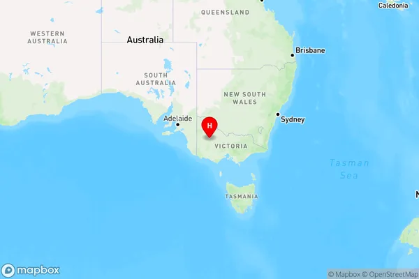
Minyip Region Map

Country
Main Region in AU
R3Coordinates
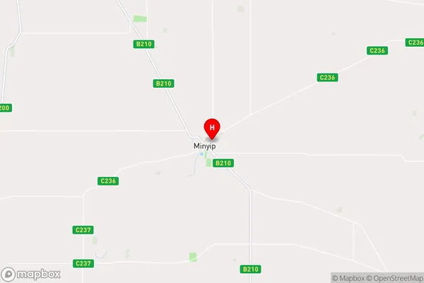
-36.4577308,142.5942441 (latitude/longitude)Minyip Area Map (Street)

Longitude
142.677858Latitude
-36.430131Minyip Elevation
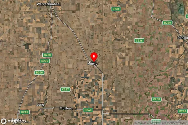
about 121.53 meters height above sea level (Altitude)Minyip Suburb Map (Satellite)

Distances
The distance from Minyip, North West, VIC to AU Greater Capital CitiesSA1 Code 2011
21501139409SA1 Code 2016
21501139409SA2 Code
215011394SA3 Code
21501SA4 Code
215RA 2011
3RA 2016
3MMM 2015
5MMM 2019
5Charge Zone
V2LGA Region
Northern GrampiansLGA Code
25810Electorate
Mallee