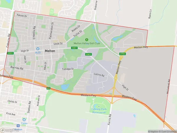
Melton Suburbs & Region, Melton Map & Postcodes
Melton Suburbs & Region, Melton Map & Postcodes in Melton, Melton Bacchus Marsh, Melbourne West, VIC, AU
Melton Region
Region Name
Melton (VIC, AU)Melton Area
9.86 square kilometers (9.86 ㎢)Melton Introduction
Melton is a suburb of Melbourne, Victoria, Australia, 13 km west of Melbourne's central business district. It is represented by the City of Melton local government area. At the 2016 census, Melton had a population of 20,121. The suburb was named after the town of Melton Mowbray in Leicestershire, England, and was first settled in 1837. It is known for its large industrial area, which includes the Melbourne Airport and the Australian National Railways' Melton railway workshops. The suburb also has a variety of shopping centers, including Westfield Melton and Watergardens Town Center.Australia State
City or Big Region
Greater Capital City
Greater Melbourne (2GMEL)District or Regional Area
Suburb Name
Melton Suburbs
Melton full address
Melton, Melton Bacchus Marsh, Melbourne West, Victoria, VIC, Australia, SaCode: 213041577Country
Melton, Melton Bacchus Marsh, Melbourne West, Victoria, VIC, Australia, SaCode: 213041577
Melton Suburbs & Region, Melton Map & Postcodes has 0 areas or regions above, and there are 0 Melton suburbs below. The sa2code for the Melton region is 213041577. Melton area belongs to Australia's greater capital city Greater Melbourne.
