Sydenham Suburbs & Region, Sydenham Map & Postcodes
Sydenham Suburbs & Region, Sydenham Map & Postcodes in Sydenham, Melton Bacchus Marsh, Melbourne West, VIC, AU
Sydenham Region
Region Name
Sydenham (VIC, AU)Sydenham Area
3.95 square kilometers (3.95 ㎢)Sydenham Introduction
Sydenham is a suburb in Melbourne, Victoria, Australia, 6 km south-east of Melbourne's central business district (CBD). Its local government area is the City of Moreland. At the 2016 Census, Sydenham had a population of 11,227. Sydenham is represented by two members on the Moreland City Council, with Labor holding one seat and the Liberal Party holding the other. The suburb is part of the state electoral district of Ivanhoe. Sydenham is known for its diverse population and vibrant cultural scene. It has a large Greek community and is home to several Greek restaurants and cafes. The suburb also has a significant Indian population and is home to many Indian restaurants and shops. Sydenham is also home to a large number of immigrants from other parts of the world, including Vietnam, China, and the Middle East. The suburb has several parks and recreational facilities, including Sydenham Park, which has a playground, cricket pitch, and tennis courts. The suburb is also home to the Sydenham Community Arts Centre, which hosts a variety of cultural events and exhibitions throughout the year. Sydenham is well-connected to the rest of Melbourne, with several bus routes and train stations nearby. The suburb is also close to the Monash Freeway, which provides easy access to the city and the outer suburbs.Australia State
City or Big Region
Greater Capital City
Greater Melbourne (2GMEL)District or Regional Area
Suburb Name
Sydenham Region Map

Sydenham Suburbs
Sydenham full address
Sydenham, Melton Bacchus Marsh, Melbourne West, Victoria, VIC, Australia, SaCode: 213011339Country
Sydenham, Melton Bacchus Marsh, Melbourne West, Victoria, VIC, Australia, SaCode: 213011339
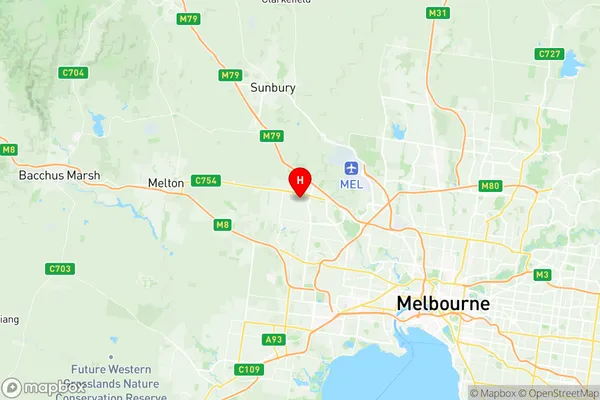
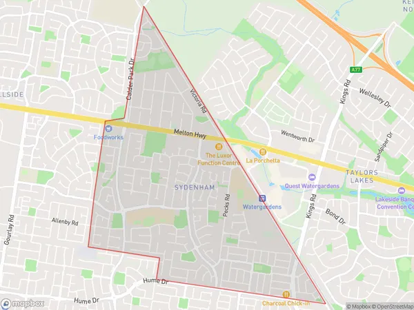
Sydenham Suburbs & Region, Sydenham Map & Postcodes has 0 areas or regions above, and there are 0 Sydenham suburbs below. The sa2code for the Sydenham region is 213011339. Its latitude and longitude coordinates are -37.702,144.767. Sydenham area belongs to Australia's greater capital city Greater Melbourne.
