Wallan Suburbs & Region, Wallan Map & Postcodes
Wallan Suburbs & Region, Wallan Map & Postcodes in Wallan, Macedon Ranges, Melbourne North West, VIC, AU
Wallan Region
Region Name
Wallan (VIC, AU)Wallan Area
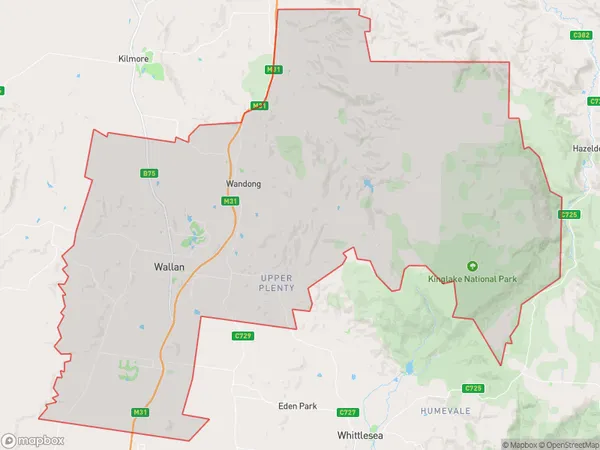
507.75 square kilometers (507.75 ㎢)Postal Codes
3658, 3753, 3756, 3758, and 3762 (In total, there are 5 postcodes in Wallan.)Wallan Suburb Area Map (Polygon)
Wallan Introduction
Wallan is a suburb of Melbourne, Victoria, Australia, 16 km north-west of Melbourne's central business district. It is in the local government area of the City of Whittlesea. At the 2016 census, Wallan had a population of 11,433. Wallan railway station is located on the Craigieburn line. Wallan Post Office opened on 1 October 1892 and was closed on 21 May 1976.Australia State
City or Big Region
Greater Capital City
Greater Melbourne (2GMEL)District or Regional Area
Suburb Name
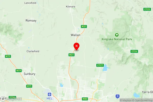
Wallan Region Map
Wallan Postcodes / Zip Codes
Wallan Suburbs
Wallan full address
Wallan, Macedon Ranges, Melbourne North West, Victoria, VIC, Australia, SaCode: 209041224Country
Wallan, Macedon Ranges, Melbourne North West, Victoria, VIC, Australia, SaCode: 209041224
Wallan Suburbs & Region, Wallan Map & Postcodes has 0 areas or regions above, and there are 10 Wallan suburbs below. The sa2code for the Wallan region is 209041224. Its latitude and longitude coordinates are -37.4823,144.983. Wallan area belongs to Australia's greater capital city Greater Melbourne.
Wallan Suburbs & Localities
1. Waterford Park
2. Clonbinane
3. Wandong
4. Upper Plenty
5. Wallan East
6. Beveridge
7. Hidden Valley
8. Heathcote Junction
9. Bylands
10. Wallan