Wallan Area, Wallan Postcode(3756) & Map in Wallan, Melbourne - North East, VIC
Wallan Area, Wallan Postcode(3756) & Map in Wallan, Melbourne - North East, VIC, AU, Postcode: 3756
Wallan, Wallan, Whittlesea - Wallan, Melbourne - North East, Victoria, Australia, 3756
Wallan Postcode
Area Name
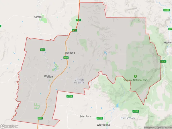
WallanWallan Suburb Area Map (Polygon)

Wallan Introduction
Wallan is a town in the North-East of Melbourne, Victoria, Australia. It is located in the Shire of Buloke and had a population of 10,661 at the 2016 census. Wallan is known for its historic railway station and the Wallan railway museum. It is also home to the Wallan Football Club and the Wallan Basketball Club.State Name
City or Big Region
District or Regional Area
Suburb Name
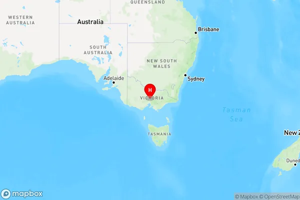
Wallan Region Map

Country
Main Region in AU
R3Coordinates
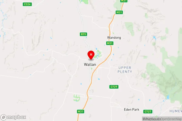
-37.4066923,144.9798236 (latitude/longitude)Wallan Area Map (Street)

Longitude
144.956641Latitude
-37.41233Wallan Elevation
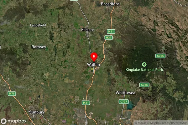
about 343.51 meters height above sea level (Altitude)Wallan Suburb Map (Satellite)

Distances
The distance from Wallan, Melbourne - North East, VIC to AU Greater Capital CitiesSA1 Code 2011
20904122417SA1 Code 2016
20904122417SA2 Code
209041224SA3 Code
20904SA4 Code
209RA 2011
1RA 2016
1MMM 2015
1MMM 2019
1Charge Zone
V1LGA Region
WhittleseaLGA Code
27070Electorate
McEwen