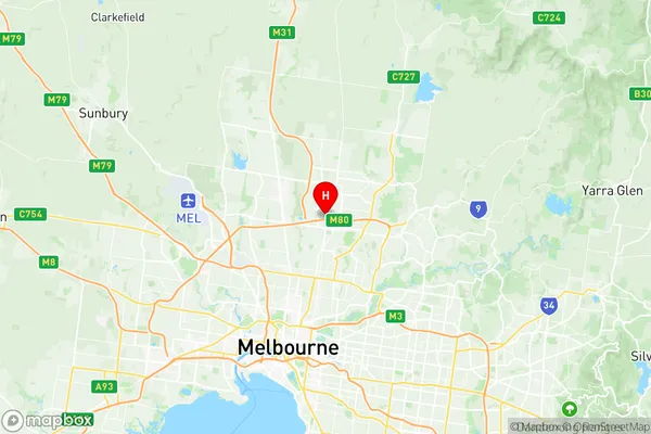
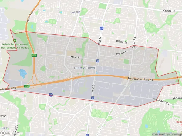
Thomastown Suburbs & Region, Thomastown Map & Postcodes
Thomastown Suburbs & Region, Thomastown Map & Postcodes in Thomastown, Tullamarine Broadmeadows, Melbourne North West, VIC, AU
Thomastown Region
Region Name
Thomastown (VIC, AU)Thomastown Area
14.69 square kilometers (14.69 ㎢)Postal Codes
3073, and 3074 (In total, there are 2 postcodes in Thomastown.)Thomastown Introduction
Thomastown is a suburb of Melbourne, Victoria, Australia. It is located 10 km north-west of Melbourne's central business district and is part of the City of Hume local government area. Thomastown was named after Thomas Bent, who was the first landowner in the area. The suburb has a variety of shops, cafes, and restaurants, as well as a community center and a primary school. Thomastown is well-connected to other parts of Melbourne, with easy access to the Western Freeway and the Melbourne Metro rail system. It is also home to a number of parks and recreational facilities, including the Thomastown Reserve and the Thomastown Golf Club.Australia State
City or Big Region
Greater Capital City
Greater Melbourne (2GMEL)District or Regional Area
Suburb Name
Thomastown Region Map

Thomastown Postcodes / Zip Codes
Thomastown Suburbs
Thomastown full address
Thomastown, Tullamarine Broadmeadows, Melbourne North West, Victoria, VIC, Australia, SaCode: 209041223Country
Thomastown, Tullamarine Broadmeadows, Melbourne North West, Victoria, VIC, Australia, SaCode: 209041223
Thomastown Suburbs & Region, Thomastown Map & Postcodes has 0 areas or regions above, and there are 2 Thomastown suburbs below. The sa2code for the Thomastown region is 209041223. Its latitude and longitude coordinates are -37.6838,145.011. Thomastown area belongs to Australia's greater capital city Greater Melbourne.
Thomastown Suburbs & Localities
1. Keon Park
2. Thomastown
