Keon Park Area, Keon Park Postcode(3073) & Map in Keon Park, Melbourne - North East, VIC
Keon Park Area, Keon Park Postcode(3073) & Map in Keon Park, Melbourne - North East, VIC, AU, Postcode: 3073
Keon Park, Thomastown, Whittlesea - Wallan, Melbourne - North East, Victoria, Australia, 3073
Keon Park Postcode
Area Name
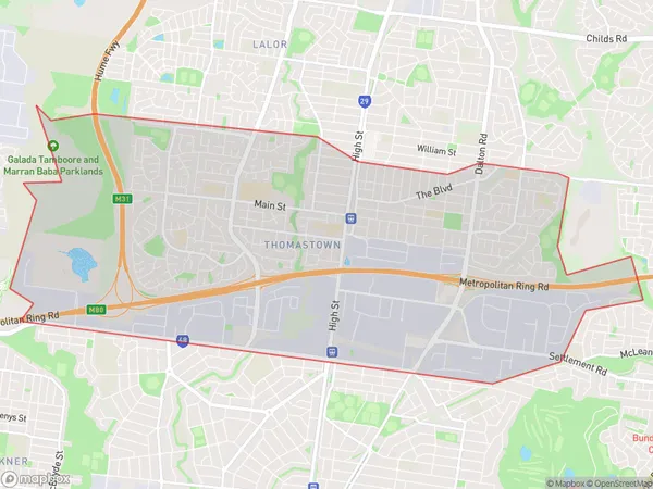
Keon ParkKeon Park Suburb Area Map (Polygon)

Keon Park Introduction
Keon Park is a large parkland area located in Melbourne's north-east, featuring a playground, walking tracks, picnic spots, and a basketball court. It is a popular spot for locals to exercise, relax, and enjoy outdoor activities. The park is named after the Keon Creek, which flows through it, and is surrounded by a variety of native plants and trees.State Name
City or Big Region
District or Regional Area
Suburb Name
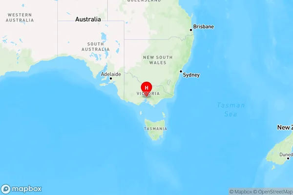
Keon Park Region Map

Country
Main Region in AU
R1Coordinates
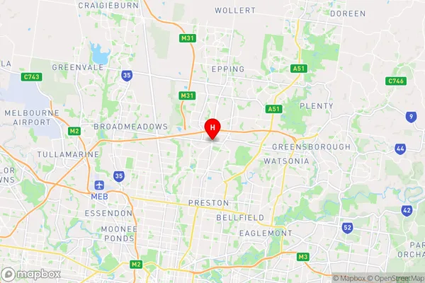
-37.694627,145.0118427 (latitude/longitude)Keon Park Area Map (Street)

Longitude
145.005955Latitude
-37.712474Keon Park Elevation
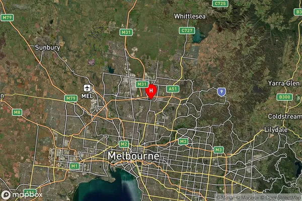
about 89.31 meters height above sea level (Altitude)Keon Park Suburb Map (Satellite)

Distances
The distance from Keon Park, Melbourne - North East, VIC to AU Greater Capital CitiesSA1 Code 2011
20904122344SA1 Code 2016
20904122344SA2 Code
209041223SA3 Code
20904SA4 Code
209RA 2011
1RA 2016
1MMM 2015
1MMM 2019
1Charge Zone
V1LGA Region
DarebinLGA Code
21890Electorate
Cooper