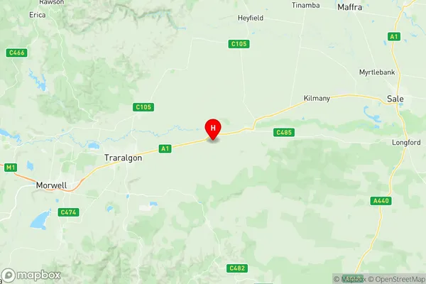
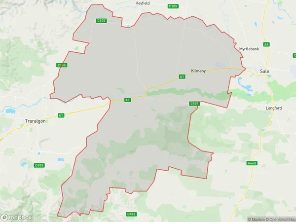
Rosedale Suburbs & Region, Rosedale Map & Postcodes
Rosedale Suburbs & Region, Rosedale Map & Postcodes in Rosedale, Wellington, Latrobe Gippsland, VIC, AU
Rosedale Region
Region Name
Rosedale (VIC, AU)Rosedale Area
968.46 square kilometers (968.46 ㎢)Postal Codes
3844, 3847, 3851, 3857, 3858, and 3873 (In total, there are 6 postcodes in Rosedale.)Rosedale Introduction
Rosedale is a locality in the Shire of Buloke, Victoria, Australia. It is located in the Gippsland region, 126 km east of Melbourne's central business district. The post office opened as Rosedale on 1 October 1892 and was closed on 1 March 1974. The present post office opened as Buloke on 1 July 1975 and was closed on 20 March 1984. Rosedale is a small township with a primary school, a general store, a post office, and a community hall. The surrounding area is primarily agricultural, with wheat and sheep being the main crops. The township is surrounded by beautiful countryside, with the Mount Jeffcott Conservation Reserve and the Buloke Forest National Park located nearby. The nearest major town is Warragul, which is 15 km away. Rosedale has a population of around 100 people.Australia State
City or Big Region
Greater Capital City
Rest of Vic. (2RVIC)District or Regional Area
Suburb Name
Rosedale Region Map

Rosedale Postcodes / Zip Codes
Rosedale Suburbs
Rosedale full address
Rosedale, Wellington, Latrobe Gippsland, Victoria, VIC, Australia, SaCode: 205051102Country
Rosedale, Wellington, Latrobe Gippsland, Victoria, VIC, Australia, SaCode: 205051102
Rosedale Suburbs & Region, Rosedale Map & Postcodes has 0 areas or regions above, and there are 13 Rosedale suburbs below. The sa2code for the Rosedale region is 205051102. Its latitude and longitude coordinates are -38.1707,146.712. Rosedale area belongs to Australia's greater capital city Rest of Vic..
Rosedale Suburbs & Localities
1. Callignee North
2. Flynn
3. Gormandale
4. Rosedale
5. Willung
6. Cowwarr
7. Flynns Creek
8. Nambrok
9. Kilmany
10. Hiamdale
11. Fulham
12. Denison
13. Winnindoo
