Yallourn North Glengarry Suburbs & Region, Yallourn North Glengarry Map & Postcodes
Yallourn North Glengarry Suburbs & Region, Yallourn North Glengarry Map & Postcodes in Yallourn North Glengarry, Wellington, Latrobe Gippsland, VIC, AU
Yallourn North Glengarry Region
Region Name
Yallourn North Glengarry (VIC, AU)Yallourn North Glengarry Area
342.7 square kilometers (342.7 ㎢)Postal Codes
3825, 3844, 3854, and 3856 (In total, there are 4 postcodes in Yallourn North Glengarry.)Yallourn North Glengarry Introduction
Yallourn North is a locality in the local government area of the Shire of Buloke, Victoria, Australia. It is located 35 km north-east of the state capital, Melbourne. The post office opened as Yallourn North on 1 November 1928 and was closed on 1 October 1974. The present post office opened as Yallourn North on 1 July 1980 and was closed on 29 March 1994. The town is named after the Yallourn North railway station, which was opened on 1 October 1889. The railway station was closed on 1 October 1974. The town has a primary school and a post office. The Yallourn North Football Club is a member of the Buloke Football League. The town is surrounded by farmland and forests. The nearest major town is Warragul, which is 16 km away. The nearest railway station is Drouin, which is 19 km away. The town is located in the Latrobe Valley region, which is known for its agriculture and forestry. The region is also home to the Yallourn Power Station, which is the largest coal-fired power station in Victoria.Australia State
City or Big Region
Greater Capital City
Rest of Vic. (2RVIC)District or Regional Area
Suburb Name
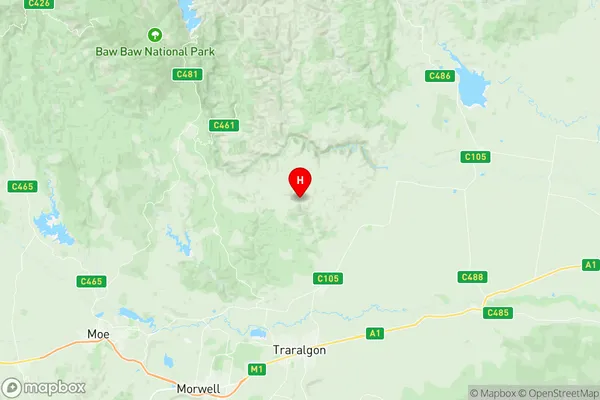
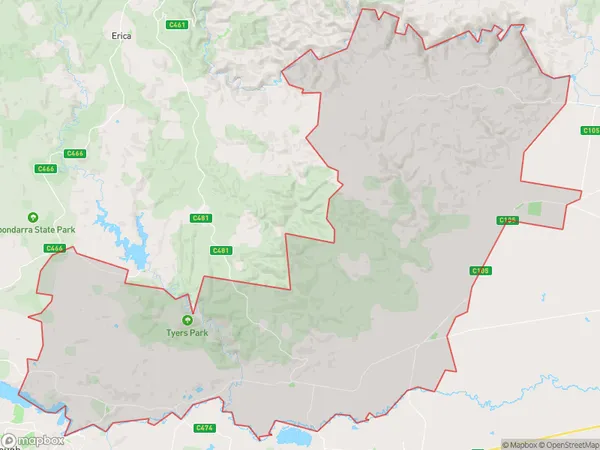
Yallourn North Glengarry Region Map

Yallourn North Glengarry Postcodes / Zip Codes
Yallourn North Glengarry Suburbs
Yallourn North Glengarry full address
Yallourn North Glengarry, Wellington, Latrobe Gippsland, Victoria, VIC, Australia, SaCode: 205041098Country
Yallourn North Glengarry, Wellington, Latrobe Gippsland, Victoria, VIC, Australia, SaCode: 205041098
Yallourn North Glengarry Suburbs & Region, Yallourn North Glengarry Map & Postcodes has 0 areas or regions above, and there are 6 Yallourn North Glengarry suburbs below. The sa2code for the Yallourn North Glengarry region is 205041098. Its latitude and longitude coordinates are -38.0326,146.539. Yallourn North Glengarry area belongs to Australia's greater capital city Rest of Vic..
Yallourn North Glengarry Suburbs & Localities
2. Glengarry West
3. Toongabbie
4. Glengarry
5. Yallourn North
6. Glengarry North
