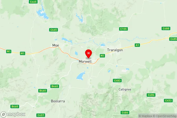
Morwell Suburbs & Region, Morwell Map & Postcodes
Morwell Suburbs & Region, Morwell Map & Postcodes in Morwell, Wellington, Latrobe Gippsland, VIC, AU
Morwell Region
Region Name
Morwell (VIC, AU)Morwell Area
85.49 square kilometers (85.49 ㎢)Morwell Introduction
Morwell is a city in the Latrobe Valley region of Victoria, Australia. It is located 116 km east of Melbourne's central business district and is the administrative center of the Shire of Latrobe. The city is named after the Morwell River, which flows through it. Morwell is known for its coal-fired power station, which is the largest in Victoria and one of the largest in Australia. The power station employs a large number of people and has a significant impact on the local economy. Morwell also has a number of other industries, including manufacturing, agriculture, and tourism. The city is home to the Morwell Football Club, which competes in the Victorian Football League (VFL). The Morwell Centrals Football Club, which competes in the Eastern Football League (EFL), is also based in the city.Australia State
City or Big Region
Greater Capital City
Rest of Vic. (2RVIC)District or Regional Area
Suburb Name
Morwell Region Map

Morwell Suburbs
Morwell full address
Morwell, Wellington, Latrobe Gippsland, Victoria, VIC, Australia, SaCode: 205041096Country
Morwell, Wellington, Latrobe Gippsland, Victoria, VIC, Australia, SaCode: 205041096
Morwell Suburbs & Region, Morwell Map & Postcodes has 0 areas or regions above, and there are 0 Morwell suburbs below. The sa2code for the Morwell region is 205041096. Its latitude and longitude coordinates are -38.2276,146.415. Morwell area belongs to Australia's greater capital city Rest of Vic..
