Leongatha Suburbs & Region, Leongatha Map & Postcodes
Leongatha Suburbs & Region, Leongatha Map & Postcodes in Leongatha, Gippsland South West, Latrobe Gippsland, VIC, AU
Leongatha Region
Region Name
Leongatha (VIC, AU)Leongatha Area
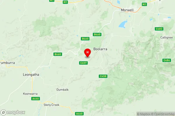
801.01 square kilometers (801.01 ㎢)Leongatha Suburb Area Map (Polygon)

Leongatha Introduction
Leongatha is a small town in the Gippsland region of Victoria, Australia. It is located in the Shire of Buloke, approximately 216 kilometers southeast of Melbourne. The town is known for its coal mining industry, with the Leongatha Coal Mine being the major employer in the area. The town has a population of around 3,000 people and is surrounded by beautiful natural scenery, including the Leongatha National Park and the Strzelecki Ranges. Leongatha is also home to a number of cultural and recreational facilities, including a golf course, a swimming pool, and a community hall.Australia State
City or Big Region
Greater Capital City
Rest of Vic. (2RVIC)District or Regional Area
Suburb Name
Leongatha Region Map
Leongatha Suburbs
Leongatha full address
Leongatha, Gippsland South West, Latrobe Gippsland, Victoria, VIC, Australia, SaCode: 205031090Country
Leongatha, Gippsland South West, Latrobe Gippsland, Victoria, VIC, Australia, SaCode: 205031090
Leongatha Suburbs & Region, Leongatha Map & Postcodes has 0 areas or regions above, and there are 0 Leongatha suburbs below. The sa2code for the Leongatha region is 205031090. Its latitude and longitude coordinates are -38.4148,146.212. Leongatha area belongs to Australia's greater capital city Rest of Vic..