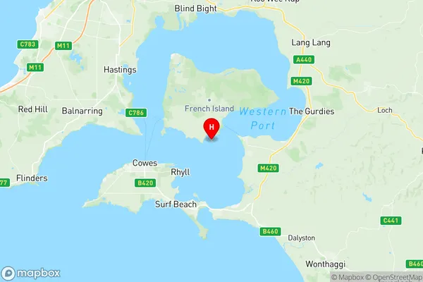
French Island Suburbs & Region, French Island Map & Postcodes
French Island Suburbs & Region, French Island Map & Postcodes in French Island, Gippsland South West, Latrobe Gippsland, VIC, AU
French Island Region
Region Name
French Island (VIC, AU)French Island Area
170.23 square kilometers (170.23 ㎢)French Island Introduction
French Island is a locality in the Gippsland region of Victoria, Australia. It is located in the Latrobe Valley, approximately 115 km east of Melbourne. The locality is named after the French Island group in the Bass Strait. French Island is primarily a farming area, with crops such as wheat, sheep, and cattle being grown. The area also has a number of tourist attractions, including the French Island National Park, which is a protected area that includes a number of walking trails and wildlife reserves. The nearest major town to French Island is Morwell, which is approximately 10 km away.Australia State
City or Big Region
Greater Capital City
Rest of Vic. (2RVIC)District or Regional Area
Suburb Name
French Island Region Map

French Island Suburbs
French Island full address
French Island, Gippsland South West, Latrobe Gippsland, Victoria, VIC, Australia, SaCode: 205031088Country
French Island, Gippsland South West, Latrobe Gippsland, Victoria, VIC, Australia, SaCode: 205031088
French Island Suburbs & Region, French Island Map & Postcodes has 0 areas or regions above, and there are 0 French Island suburbs below. The sa2code for the French Island region is 205031088. Its latitude and longitude coordinates are -38.4168,145.369. French Island area belongs to Australia's greater capital city Rest of Vic..
