Benalla Suburbs & Region, Benalla Map & Postcodes
Benalla Suburbs & Region, Benalla Map & Postcodes in Benalla, Wangaratta Benalla, Hume, VIC, AU
Benalla Region
Region Name
Benalla (VIC, AU)Benalla Area
315.3 square kilometers (315.3 ㎢)Postal Codes
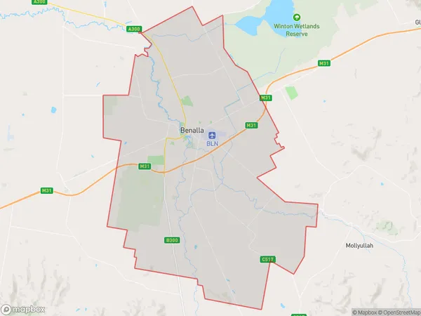
from 3671 to 3673 (In total, there are 3 postcodes in Benalla.)Benalla Suburb Area Map (Polygon)
Benalla Introduction
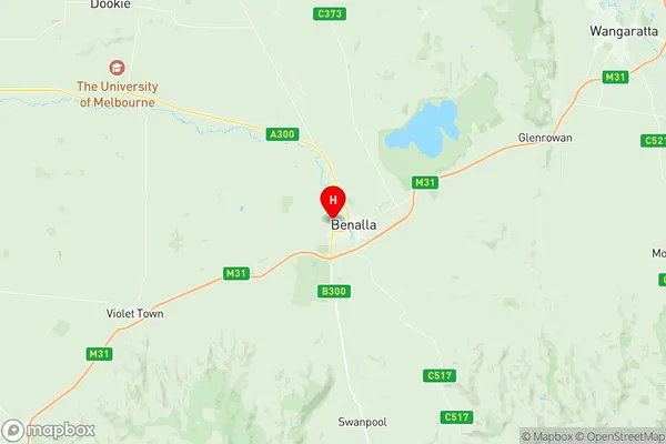
Benalla is a small township in north-east Victoria, Australia. It is located on the Broken River, approximately 165 kilometers north-east of Melbourne. The town has a population of around 10,000 people and is known for its agricultural industry, particularly its production of grapes, cherries, and apples. Benalla also has a historic railway station and a number of heritage-listed buildings. The town is surrounded by beautiful countryside and is a popular destination for outdoor activities such as hiking, cycling, and fishing.Australia State
City or Big Region
Greater Capital City
Rest of Vic. (2RVIC)District or Regional Area
Suburb Name
Benalla Region Map
Benalla Postcodes / Zip Codes
Benalla Suburbs
Benalla full address
Benalla, Wangaratta Benalla, Hume, Victoria, VIC, Australia, SaCode: 204021063Country
Benalla, Wangaratta Benalla, Hume, Victoria, VIC, Australia, SaCode: 204021063
Benalla Suburbs & Region, Benalla Map & Postcodes has 0 areas or regions above, and there are 5 Benalla suburbs below. The sa2code for the Benalla region is 204021063. Its latitude and longitude coordinates are -36.5462,145.963. Benalla area belongs to Australia's greater capital city Rest of Vic..
Benalla Suburbs & Localities
1. Benalla
2. Benalla West
3. Kilfeera
4. Benalla
5. Benalla