Kilfeera Area, Kilfeera Postcode(3673) & Map in Kilfeera, Hume, VIC
Kilfeera Area, Kilfeera Postcode(3673) & Map in Kilfeera, Hume, VIC, AU, Postcode: 3673
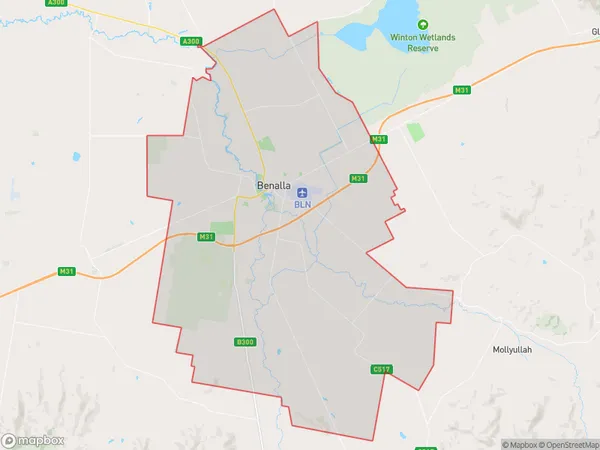
Kilfeera, Benalla, Wangaratta - Benalla, Hume, Victoria, Australia, 3673
Kilfeera Postcode
Area Name
KilfeeraKilfeera Suburb Area Map (Polygon)
Kilfeera Introduction
Kilfeera is a small township located in the Hume region of Victoria, Australia. It is situated in the Shire of Buloke, approximately 125 kilometers north-east of Melbourne. The town is named after the Kilfeera Creek, which flows through it. Kilfeera has a post office, a general store, and a community hall. The surrounding area is known for its agriculture, with crops such as wheat, barley, and sheep being grown. The town also has a number of historic buildings, including the Kilfeera Hotel and the Kilfeera Cemetery.State Name
City or Big Region
District or Regional Area
Suburb Name
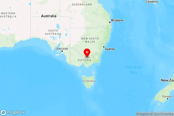
Kilfeera Region Map
Country
Main Region in AU
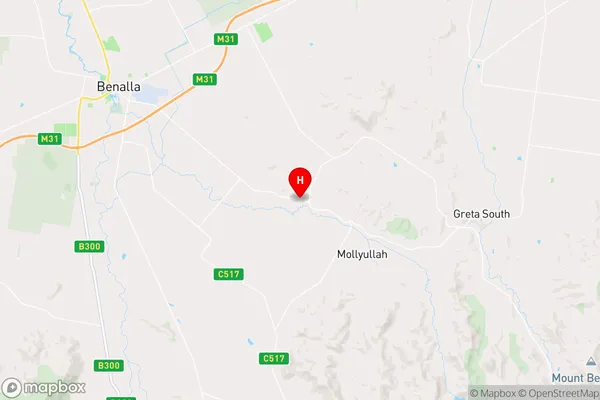
R3Coordinates
-36.6115,146.113 (latitude/longitude)Kilfeera Area Map (Street)
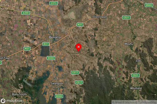
Longitude
146.062514Latitude
-36.669929Kilfeera Suburb Map (Satellite)
Distances
The distance from Kilfeera, Hume, VIC to AU Greater Capital CitiesSA1 Code 2011
20402106322SA1 Code 2016
20402106322SA2 Code
204021063SA3 Code
20402SA4 Code
204RA 2011
2RA 2016
2MMM 2015
4MMM 2019
4Charge Zone
V2LGA Region
BenallaLGA Code
21010Electorate
Indi